 Old Cumbria Gazetteer
 |
 |
|
| Bannerdale, Mungrisdale | ||
| Bannerdale | ||
| site name:- | Bannerdale Beck (2) | |
| civil parish:- | Mungrisdale (formerly Cumberland) | |
| county:- | Cumbria | |
| locality type:- | valley | |
| coordinates:- | NY34132946 (etc) | |
| 1Km square:- | NY3429 | |
| 10Km square:- | NY32 | |
|
|
||
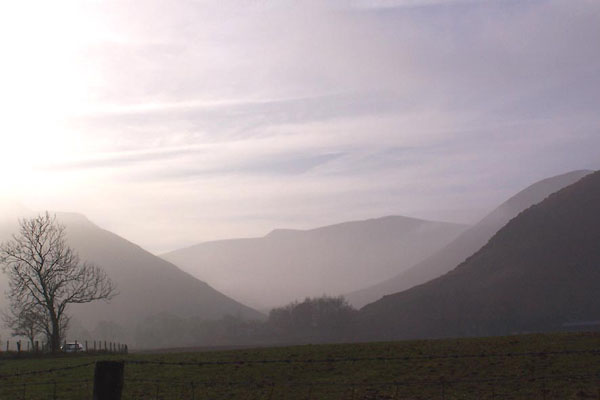 BLP53.jpg Bannerdale, into the sun from Moss Dyke; the Tongue just showing behind Bowscale Fell, Bannerdale Crags in the background, Souther Fell on the left. (taken 4.2.2006) 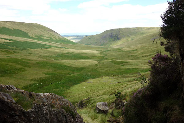 CDR56.jpg View from the lead mine. (taken 12.8.2015) |
||
|
|
||
| evidence:- | old map:- OS County Series (Cmd 57 5) placename:- Banner Dale |
|
| source data:- | Maps, County Series maps of Great Britain, scales 6 and 25
inches to 1 mile, published by the Ordnance Survey, Southampton,
Hampshire, from about 1863 to 1948. |
|
|
|
||
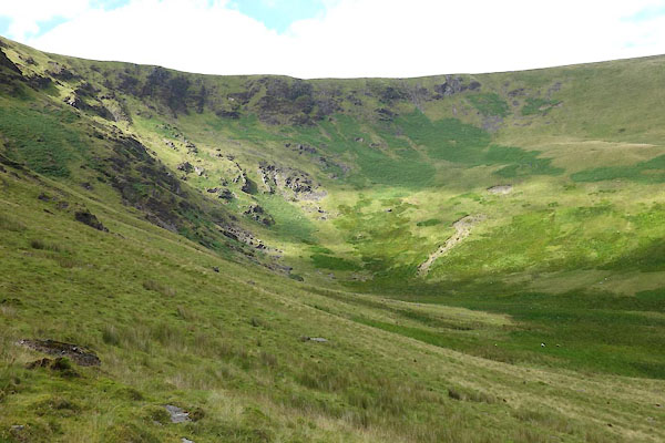 CDR59.jpg Head of valley. (taken 12.8.2015) |
||
|
|
||
 Lakes Guides menu.