 |
 |
|
|
|
|
Angerton |
| civil parish:- |
Kirkbride (formerly Cumberland) |
| county:- |
Cumbria |
| locality type:- |
locality |
| locality type:- |
buildings |
| coordinates:- |
NY22915703 (etc) |
| 1Km square:- |
NY2257 |
| 10Km square:- |
NY25 |
|
|
| evidence:- |
old map:- OS County Series (Cmd 21 4)
placename:- Angerton
|
| source data:- |
Maps, County Series maps of Great Britain, scales 6 and 25
inches to 1 mile, published by the Ordnance Survey, Southampton,
Hampshire, from about 1863 to 1948.
|
|
|
| evidence:- |
old map:- Donald 1774 (Cmd)
placename:- Angerton
|
| source data:- |
Map, hand coloured engraving, 3x2 sheets, The County of Cumberland, scale about 1
inch to 1 mile, by Thomas Donald, engraved and published by Joseph Hodskinson, 29
Arundel Street, Strand, London, 1774.
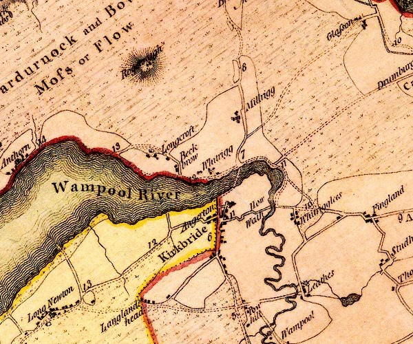
D4NY25NW.jpg
"Angerton"
block or blocks, labelled in lowercase; a hamlet or just a house
item:- Carlisle Library : Map 2
Image © Carlisle Library |
|
|
| places:- |
 |
NY22855707 Angerton Bridge (Kirkbride) |
|
|
|
SD21328435 Angerton Farm (Broughton West) L |
|
|
|
SD22618322 Angerton Hall (Angerton) |
|
|
|
NY22695702 Angerton House (Kirkbride) |
|
|
|
SD21548371 Angerton Marsh (Angerton) |
|
|
|
NY22975739 Bank House (Kirkbride) |
|
|
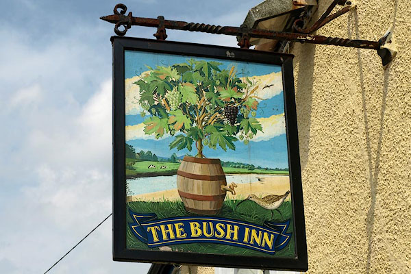 |
NY22935697 Bush Inn (Kirkbride) |
|
|
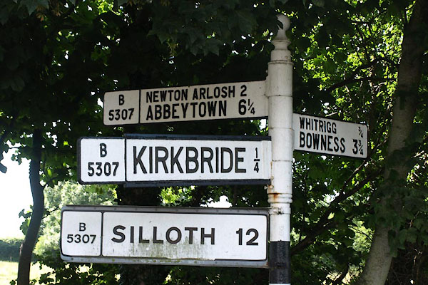 |
NY22855707 fingerpost, Kirkbride (Kirkbride) |
|
|
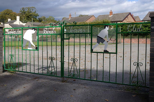 |
NY22885715 Kirkbride Bowls and Tennis Club (Kirkbride) |
|
|
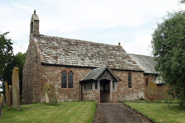 |
NY22955733 St Bride's Church (Kirkbride) L |
|
|
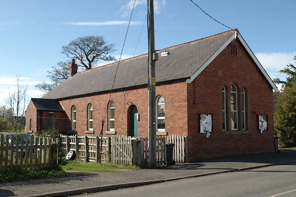 |
NY22915696 village hall, Kirkbride (Kirkbride) |
|
|
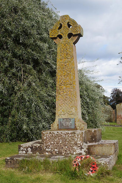 |
NY22965731 war memorial, Kirkbride (Kirkbride) |
|
|
|
NY22915736 Bloody Field (Kirkbride) |
|
