 Old Cumbria Gazetteer
 |
 |
|
| Angerton Farm, Broughton West | ||
| Angerton Farm | ||
| locality:- | Angerton | |
| civil parish:- | Broughton West (formerly Lancashire) | |
| county:- | Cumbria | |
| locality type:- | buildings | |
| coordinates:- | SD21328435 | |
| 1Km square:- | SD2184 | |
| 10Km square:- | SD28 | |
| references:- | Listed Buildings 2010 |
|
|
|
||
| evidence:- | old map:- OS County Series (Lan 10 4) placename:- Angerton |
|
| source data:- | Maps, County Series maps of Great Britain, scales 6 and 25
inches to 1 mile, published by the Ordnance Survey, Southampton,
Hampshire, from about 1863 to 1948. |
|
|
|
||
| evidence:- | old map:- Donald 1774 (Cmd) placename:- Angerton |
|
| source data:- | Map, hand coloured engraving, 3x2 sheets, The County of Cumberland, scale about 1
inch to 1 mile, by Thomas Donald, engraved and published by Joseph Hodskinson, 29
Arundel Street, Strand, London, 1774.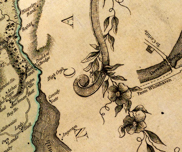 D4SD28NW.jpg "Angerton" block or blocks, labelled in lowercase; a hamlet or just a house item:- Carlisle Library : Map 2 Image © Carlisle Library |
|
|
|
||
| evidence:- | old map:- Garnett 1850s-60s H placename:- Angerton |
|
| source data:- | Map of the English Lakes, in Cumberland, Westmorland and
Lancashire, scale about 3.5 miles to 1 inch, published by John
Garnett, Windermere, Westmorland, 1850s-60s.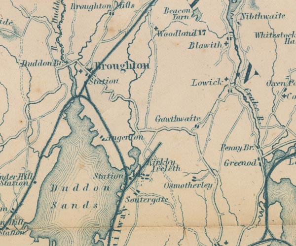 GAR2SD28.jpg "Angerton" blocks, settlement item:- JandMN : 82.1 Image © see bottom of page |
|
|
|
||
| evidence:- | database:- Listed Buildings 2010 placename:- Angerton Farm |
|
| source data:- | courtesy of English Heritage "ANGERTON FARMHOUSE AND BARN / / / BROUGHTON WEST / SOUTH LAKELAND / CUMBRIA / II / 75800 / SD2132984356" |
|
|
|
||
 Lakes Guides menu.