Old Cumbria Gazetteer
 |
 |
|
||
| Allithwaite, Lower Allithwaite | ||||
| Allithwaite | ||||
| civil parish:- | Lower Allithwaite (formerly Lancashire) | |||
| county:- | Cumbria | |||
| locality type:- | locality | |||
| locality type:- | buildings | |||
| coordinates:- | SD38697654 (etc) | |||
| 1Km square:- | SD3876 | |||
| 10Km square:- | SD37 | |||
|
|
||||
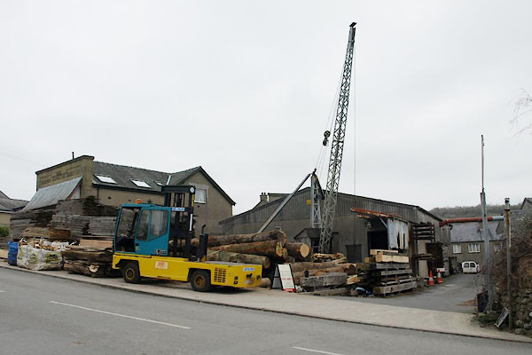
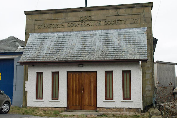
 BUE01.jpg (taken 4.3.2011) |
||||
|
|
||||
| evidence:- | descriptive text:- Ford 1839 (3rd edn 1843) placename:- Allithwaite |
|||
| source data:- | Guide book, A Description of Scenery in the Lake District, by
Rev William Ford, published by Charles Thurnam, Carlisle, by W
Edwards, 12 Ave Maria Lane, Charles Tilt, Fleet Street, William
Smith, 113 Fleet Street, London, by Currie and Bowman,
Newcastle, by Bancks and Co, Manchester, by Oliver and Boyd,
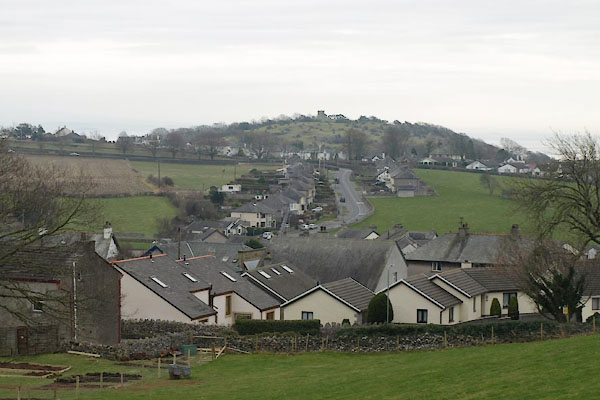
Edinburgh, and by Sinclair, Dumfries, 1839. goto source goto sourcePage 154:- "..." "Allithwaite is a village in the parish of Cartmel." |
|||
|
|
||||
| evidence:- | old map:- Ford 1839 map placename:- Allithwaite |
|||
| source data:- | Map, uncoloured engraving, Map of the Lake District of
Cumberland, Westmoreland and Lancashire, scale about 3.5 miles
to 1 inch, published by Charles Thurnam, Carlisle, and by R
Groombridge, 5 Paternoster Row, London, 3rd edn 1843.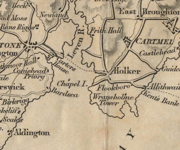 FD02SD37.jpg "Allithwaite" item:- JandMN : 100.1 Image © see bottom of page |
|||
|
|
||||
| places:- |
|
|||
|
||||
|
||||
|
||||
|
||||
|
||||
|
||||
Lakes Guides menu.