 Old Cumbria Gazetteer
 |
 |
|
| Alcock Tarn, Lakes | ||
| Alcock Tarn | ||
| Buttercrags Tarn | ||
| Butter Crags Tarn | ||
| Grey Crag Tarn | ||
| civil parish:- | Lakes (formerly Westmorland) | |
| county:- | Cumbria | |
| locality type:- | tarn | |
| coordinates:- | NY34910789 (etc) | |
| 1Km square:- | NY3407 | |
| 10Km square:- | NY30 | |
| altitude:- | 1190 feet | |
| altitude:- | 365m | |
|
|
||
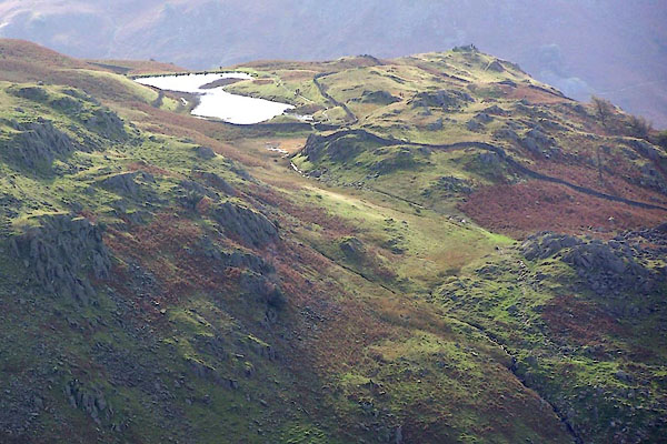
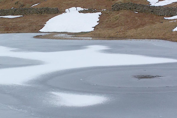 BSF74.jpg (taken 2.3.2010) 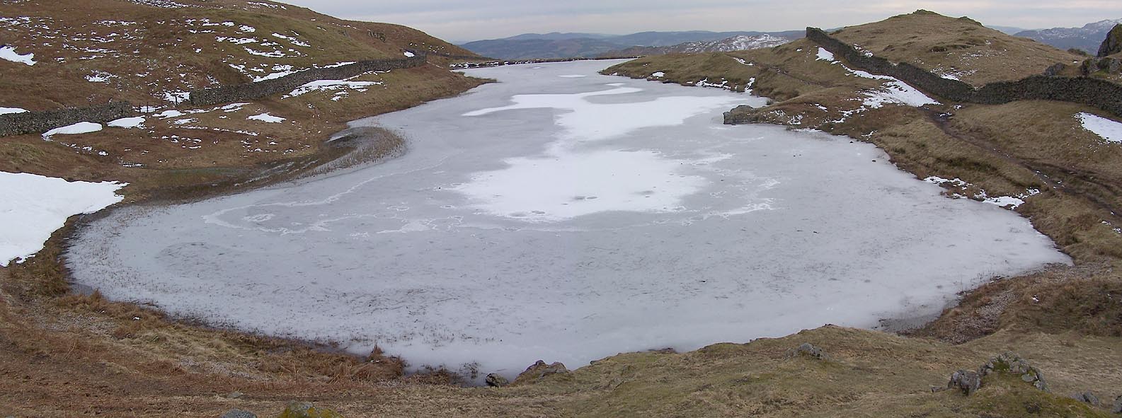 Click to enlarge BSF73.jpg (taken 2.3.2010) |
||
|
|
||
| evidence:- | old map:- OS County Series (Wmd 1913) |
|
| source data:- | Maps, County Series maps of Great Britain, scales 6 and 25
inches to 1 mile, published by the Ordnance Survey, Southampton,
Hampshire, from about 1863 to 1948. outline |
|
|
|
||
 BRS33.jpg (taken 7.10.2009) 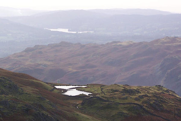 BRS34.jpg (taken 7.10.2009) 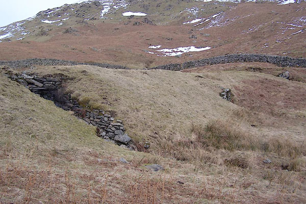 BSF76.jpg Dam at north end. (taken 2.3.2010) 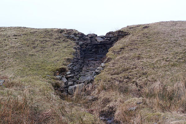 BSF77.jpg Dam at north end, spillway. (taken 2.3.2010) 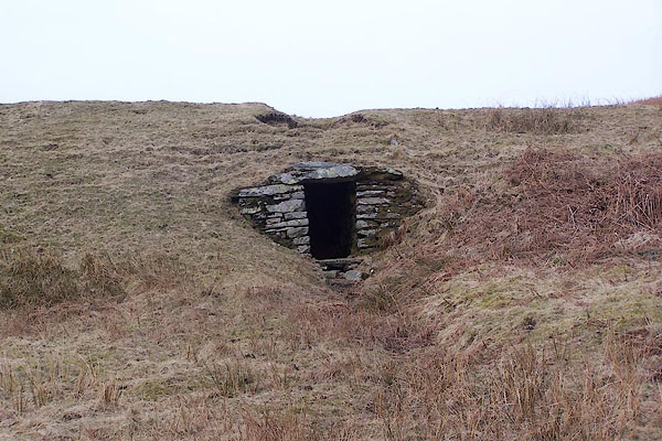 BSF78.jpg Dam at north end, spillway? Dam at north end. (taken 2.3.2010) 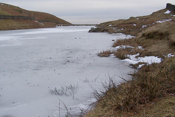 BSF75.jpg (taken 2.3.2010) |
||
|
|
||
| hearsay:- |
The name was changed to Alcock Tarn when Mr Alcock stocked it with trout. The fishing
is free. |
|
|
|
||
 Lakes Guides menu.