 Jefferys 1770 NY80SW

|

|
|
|
gazetteer links places may or may not be labelled on the map |
||

|
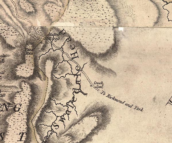
-- Birk Dale -- "Swaledale Head" |
|
|
|
-- Crook Seal -- "Crook Seal" |
|
|
|
-- Fells End -- "FELL END" |
|
|
|
-- Hollow Mill Cross -- "Hallow Mill Cross" |
|
|
|
-- Kirby Stephen to Richmond -- "To Richmond and
York" |
|
|
civil parishes The area roughly includes parts of parishes:- Mallertang Nateby Hartley |
||
|
counties The area includes parts of counties:- North Yorkshire |
||
|
|
||
|
|
Lakes Guides menu. | |