 Jefferys 1770 NY71NW

|

|
|
|
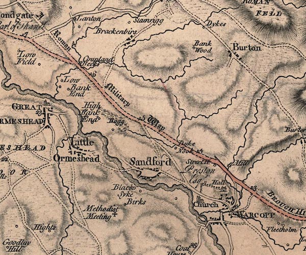
gazetteer links places may or may not be labelled on the map |
||

|
-- Bankwood -- "Bank Wood" |
|
|
|
-- Birks Chapel -- "Methodist Meeting" |
|
|
|
-- Birks -- "Birks" |
|
|
|
-- Brackenber -- "Brackenbirs" |
|
|
|
-- Burton -- "Burton" |
|
|
|
-- Coupland Beck Farm -- "Coupland Becks" |
|
|
|
-- Coupland Beck |
|
|
|
-- Crooks Beck |
|
|
|
-- Dyke Nook -- "Dyke Nook" |
|
|
|
-- Dykes -- "Dykes" |
|
|
|
-- Eden, River -- "Eden River" -- "Eden
River" -- "Eden R." |
|
|
|
-- Far Bank End -- "High Bank End" |
|
|
|
-- Hayber Beck |
|
|
|
-- Helm Beck |
|
|
|
-- Hilton Beck |
|
|
|
-- Little Ormside -- "Little Ormeshead" |
|
|
|
-- Low Bank End -- "Low Bank End" |
|
|
|
-- Lowgill Beck |
|
|
|
-- milestone, Warcop -- "6" |
|
|
|
-- milestone, Warcop -- "5" |
|
|
|
-- milestone, Warcop -- "4" |
|
|
|
-- milestone, Warcop -- "3" |
|
|
|
-- Warcop Mill (?) -- "Mill" |
|
|
|
-- Mire Sike |
|
|
|
-- Brough to Appleby -- "Roman Military Way" |
|
|
|
-- Sandford Bridge |
|
|
|
-- Sandford Mire -- "Bogg" |
|
|
|
-- Sandford -- "Sandford" |
|
|
|
-- St Columba's Church -- "Church" |
|
|
|
-- Street House -- "Street H" |
|
|
|
-- Walk Mill |
|
|
|
-- Warcop Hall -- "Hall / Preston Esqr." |
|
|
|
-- Warcop Old Bridge |
|
|
|
-- Warcop -- "WARCOPP" |
|
|
civil parishes The area roughly includes parts of parishes:- Hilton Ormside Warcop |
||
|
|
||
|
|
Lakes Guides menu. | |