 Jefferys 1770 NY60NE

|

|
|
|
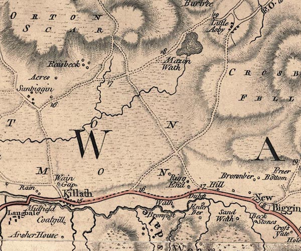
gazetteer links places may or may not be labelled on the map |
||

|
-- Acres -- "Acres" |
|
|
|
-- Bowderdale Beck |
|
|
|
-- Brow Foot -- "Browfoot" |
|
|
|
-- Brownber -- "Brownber" |
|
|
|
-- Cotegill Beck |
|
|
|
-- Cotegill -- "Coatgill" |
|
|
|
-- Dubbs -- "Dubs" |
|
|
|
-- Flakebridge Beck |
|
|
|
-- Gars -- "Enter Ber" |
|
|
|
-- Hill Top -- "Hill" |
|
|
|
-- Kelleth -- "Killath" |
|
|
|
-- Little Asby -- "Little Asby" |
|
|
|
-- Lune, River -- "Lune River" |
|
|
|
-- Orton Common -- "ORTON COMMON" |
|
|
|
-- Orton Scar -- "ORTON SCAR" |
|
|
|
-- Rigg End -- "Rigg End" |
|
|
|
-- Orton to Warcop |
|
|
|
-- Tebay to Kirkby Stephen |
|
|
|
-- Sandwath -- "Sand Wath" |
|
|
|
-- Sunbiggin Tarn -- "Mazon Wath" |
|
|
|
-- Sunbiggin -- "Raisbeck" |
|
|
|
-- Tarn Sike |
|
|
|
-- Tranmoor Beck |
|
|
|
-- Wain Gap -- "Wain Gap" |
|
|
|
-- Wath -- "Wath" |
|
|
|
-- Weasdale Beck |
|
|
civil parishes The area roughly includes parts of parishes:- Asby Orton S Crosby Garrett Ravenstonedale |
||
|
|
||
|
|
Lakes Guides menu. | |