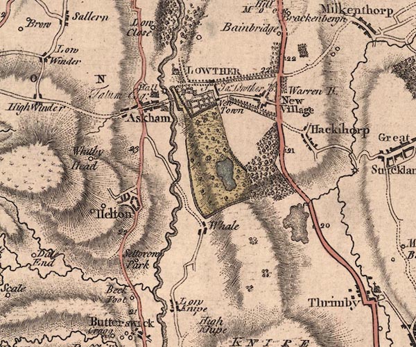
 Jefferys 1770 NY52SW

|

|
|
|
gazetteer links places may or may not be labelled on the map |
||

|
-- Askham Bridge |
|
|
|
-- Askham Hall -- "Hall / Talum Esq:" |
|
|
|
-- Askham Mill |
|
|
|
-- Askham -- "Askham" |
|
|
|
-- Beckfoot -- "Beck Foot" |
|
|
|
-- decoy pond, Lowther |
|
|
|
-- Hackthorpe -- "Hackthorp" |
|
|
|
-- Helton -- "Helton" |
|
|
|
-- Heltondale Beck |
|
|
|
-- Low Knipe -- "Low Knipe" |
|
|
|
-- Lowther Castle -- "LOWTHER / Sr. Jas. Lowther
Kt." |
|
|
|
-- Lowther -- "New Village" |
|
|
|
-- Lowther, River -- "Lowther River" |
|
|
|
-- milestone, Lowther -- "22" |
|
|
|
-- milestone, Lowther -- "21" |
|
|
|
-- milestone, Thrimby -- "20" |
|
|
|
-- milestone, Thrimby -- "19" |
|
|
|
-- Newtown -- "New Town" |
|
|
|
-- Askham to Penrith |
|
|
|
-- Bampton to Askham |
|
|
|
-- Shap to Penrith |
|
|
|
-- Setterah Park -- "Settorow Park" |
|
|
|
-- St Michael's Church |
|
|
|
-- St Peter's Church |
|
|
|
-- tarn, Thrimby |
|
|
|
-- Warren House -- "Warren H." |
|
|
|
-- Whale -- "Whale" |
|
|
|
-- Whitbysteads -- "Whitby Head" |
|
|
civil parishes The area roughly includes parts of parishes:- Sockbridge and Tirril Askham Lowther Clifton Bampton |
||
|
|
||
|
|
Lakes Guides menu. | |