 Jansson 1646 NY48


|

|
|
|
gazetteer links places may or may not be labelled on the map |
||

|
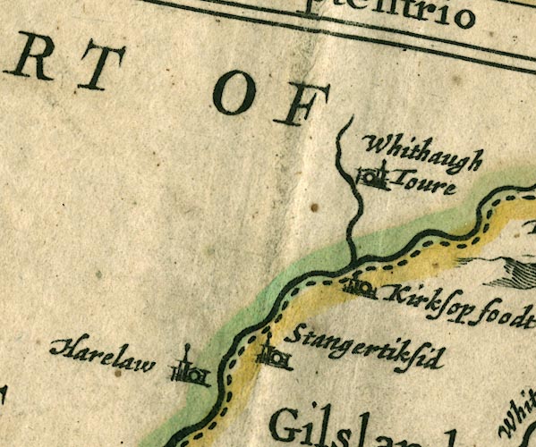
-- Harelaw -- "Harelaw" |
|
|
|
-- Kershope Burn |
|
|
|
-- Kershopefoot -- "Kirksop foodt" |
|
|
|
-- Liddel Water |
|
|
|
-- Stonegarthside Hall -- "Stangertiksid" |
|
|
|
-- Whithaugh Tower -- "Whithaugh Toure" |
|
|
civil parishes The area roughly includes parts of parishes:- Bewcastle Nicholforest |
||
|
|
||
|
|
Lakes Guides menu. | |