 Garnett 1850s-60s NY54


|

|
|
|
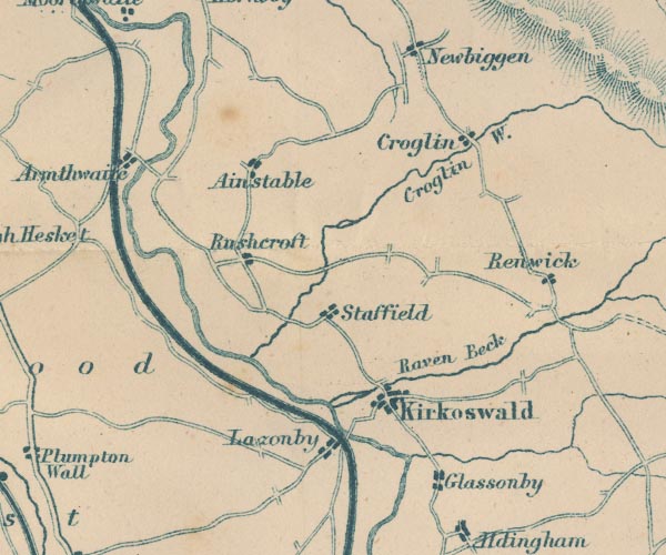
gazetteer links places may or may not be labelled on the map |
||

|
-- Ainstable -- "Ainstable" |
|
|
|
-- Armathwaite -- "Armathwaite" |
|
|
|
-- Croglin Water -- "Croglin W." |
|
|
|
-- Croglin -- "Croglin" |
|
|
|
-- Eden, River -- "R Eden" -- "Riv. Eden" --
"Eden R." |
|
|
|
-- Glassonby -- "Glassonby" |
|
|
|
-- Kirkoswald -- "Kirkoswald" |
|
|
|
-- Lazonby -- "Lazonby" |
|
|
|
-- Raven Beck -- "Raven Beck" |
|
|
|
-- Renwick -- "Renwick" |
|
|
|
-- Ruckcroft -- "Rushcroft" |
|
|
|
-- Settle and Carlisle Railway -- "Midland Railway" |
|
|
|
-- Staffield -- "Staffield" |
|
|
civil parishes The area roughly includes parts of parishes:- Glassonby Lazonby Ainstable Cumwhitton Wetheral Cumrew Kirkoswald Hesket |
||
|
|
||
|
|
Lakes Guides menu. | |