 Ford 1839 map SD67


|

|
|
|
gazetteer links places may or may not be labelled on the map |
||

|
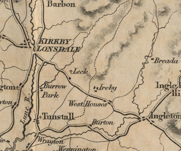
-- Burrow Deer Park -- "Burrow Park" |
|
|
|
-- Burton in Lonsdale -- "Burton" |
|
|
|
-- Ingleton -- "Angleton" |
|
|
|
-- Ireby -- "Ireby" |
|
|
|
-- Leck -- "Leck" |
|
|
|
-- Tunstall -- "Tunstall" |
|
|
|
-- Westhouse -- "West Houses" |
|
|
|
-- Wrayton -- "Wrayton" |
|
|
civil parishes The area roughly includes parts of parishes:- Kirkby Lonsdale Casterton |
||
|
|
||
|
|
Lakes Guides menu. | |