button to main menu   Ford 1839 map NY58
date  bar
Note: some of these makers maps may not show this square
Note: click on map edges for adjacent squares

Ford 1839 map
(Area of roughly corresponding to Ford 1839 map NY58 plus overlaps, North at the top; the original map is printed with North at the top)

item:-  JandMN (100_1)
image:-  © see bottom of page
gazetteer links

places may or may not be labelled on the map

button -- 
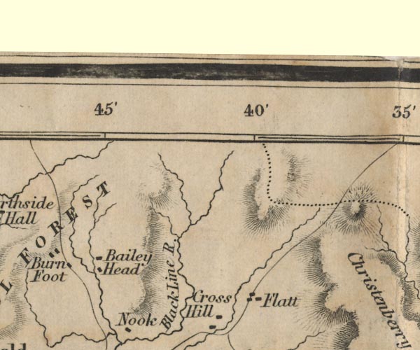
Baileyhead -- "Bailey Head"
button -- Black Lyne -- "Black Line R."
button -- Crosshill -- "Cross Hill"
button -- Flatt, The -- "Flatt"

civil parishes

The area roughly includes parts of parishes:-

    Bewcastle

button to Lakes menu Lakes Guides menu.
goto NY48 goto NY68 goto NY47 goto NY57 goto NY67 back to index map