 Ford 1839 map NY48


|

|
|
|
gazetteer links places may or may not be labelled on the map |
||

|
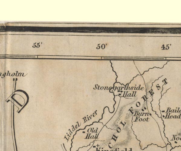
-- Burnfoot -- "Burn Foot" |
|
|
|
-- Liddel Water -- "Liddel River" |
|
|
|
-- Nichol Forest -- "NICHOL FOREST" |
|
|
|
-- Old Hall -- "Old Hall" |
|
|
|
-- Stonegarthside Hall -- "Stonegarthside Hall" |
|
|
civil parishes The area roughly includes parts of parishes:- Bewcastle Nicholforest |
||
|
|
||
|
|
Lakes Guides menu. | |