button to main menu   Ford 1839 map NY05
date  bar
Note: some of these makers maps may not show this square
Note: click on map edges for adjacent squares

Ford 1839 map
(Area of roughly corresponding to Ford 1839 map NY05 plus overlaps, North at the top; the original map is printed with North at the top)

item:-  JandMN (100_1)
image:-  © see bottom of page
button -- 
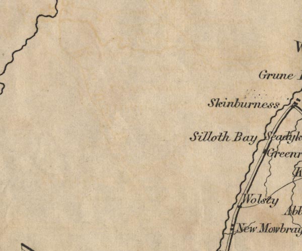
Silloth Bay -- "Silloth Bay"
button -- Wolsty -- "Wolsty"

civil parishes

The area roughly includes parts of parishes:-

    Silloth-on-Solway
    Holme St Cuthbert
    Holme Low

button to Lakes menu Lakes Guides menu.
goto NY16 goto NY15 goto NY04 goto NY14 back to index map