 Ford 1839 map NX92


|

|
|
|
gazetteer links places may or may not be labelled on the map |
||

|
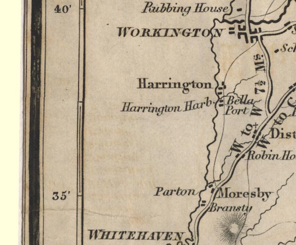
-- Bransty -- "Bransty" |
|
|
|
-- Harrington Harbour -- "Harrington Harb." --
"Bella Port" |
|
|
|
-- Harrington -- "Harrington" |
|
|
|
-- Moresby -- "Moresby" |
|
|
|
-- Parton -- "Parton" |
|
|
|
-- Cockermouth to Whitehaven -- "W to C 14 Ms." |
|
|
|
-- Whitehaven to Workington -- "W to W 7 1/2 Ms." |
|
|
|
-- Workington to Maryport -- "W to M 7 Ms." |
|
|
|
-- Robin Hood -- "Robin Hood" |
|
|
|
-- Workington -- "WORKINGTON" |
|
|
civil parishes The area roughly includes parts of parishes:- Parton Moresby Workington Lowca Distington |
||
|
|
||
|
|
Lakes Guides menu. | |