 Garnett 1850s-60s NY24


|

|
|
|
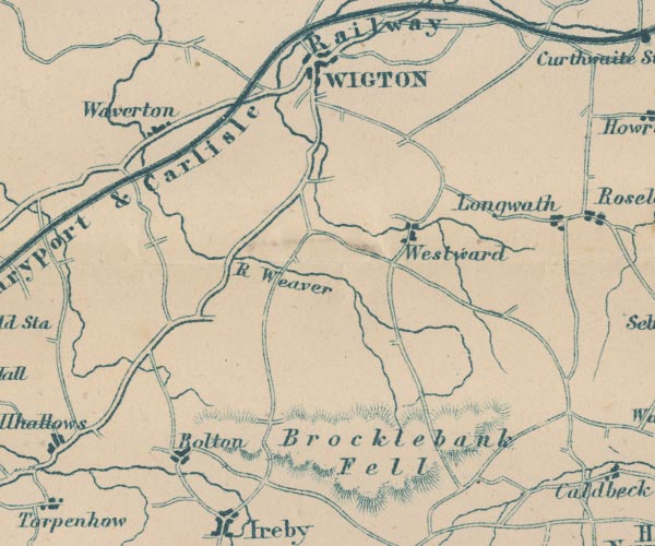
gazetteer links places may or may not be labelled on the map |
||

|
-- Bolton Low Houses -- "Bolton" |
|
|
|
-- Maryport and Carlisle Railway -- "Whitehaven Maryport &
Carlisle Railway" |
|
|
|
-- Cockermouth to Carlisle |
|
|
|
-- Waver, River -- "Weaver R." -- "R.
Weaver" |
|
|
|
-- Waverton -- "Waverton" |
|
|
|
-- Westward -- "Westward" |
|
|
|
-- Wigton -- "WIGTON" |
|
|
civil parishes The area roughly includes parts of parishes:- Blennerhasset and Torpenhow Westward Boltons Waverton Wigton Woodside Thursby Caldbeck Ireby Bromfield Allhallows Dundraw |
||
|
|
||
|
|
Lakes Guides menu. | |