


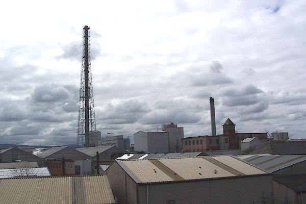
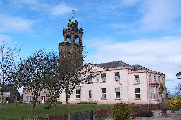
BNO15.jpg Wigton's factory.
(taken 11.4.2007)
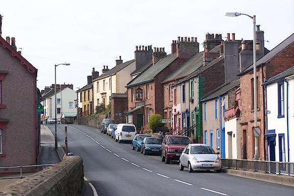
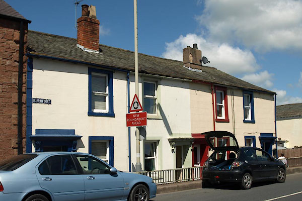
BNO09.jpg Burnfoot area.
(taken 11.4.2007)
placename:- Wigton
placename:- Wigton
OS County Series (Cmd 29 6)
placename:- Wigton
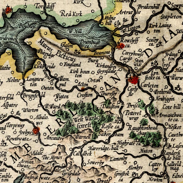
MER8CumC.jpg
"Wigton"
circle
item:- JandMN : 169
Image © see bottom of page
placename:- Wickton
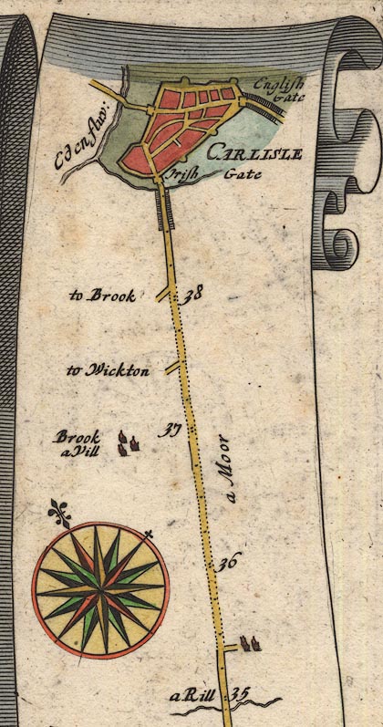
OG96Bm35.jpg
In mile 37, Cumberland.
Turning left:- "to Wickton"
item:- JandMN : 22
Image © see bottom of page
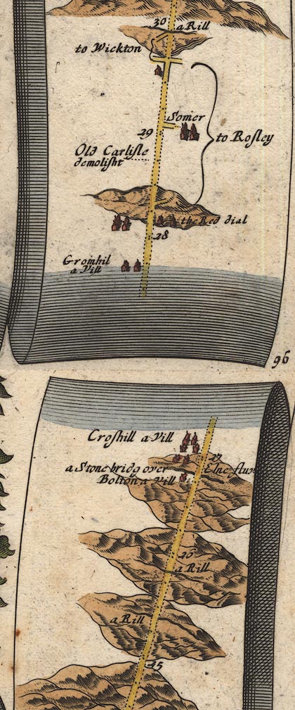
OG96Bm25.jpg
In mile 29, Cumberland.
Turnings left:- "to Wickton"
item:- JandMN : 22
Image © see bottom of page
placename:- Wigton
 click to enlarge
MRD3Cm.jpg
"Wigton"
circle; village or town
item:- JandMN : 339
Image © see bottom of page
placename:- Wigton
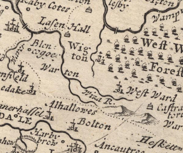
MD12NY24.jpg
"Wigton"
Circle, buildings, towers.
item:- JandMN : 90
Image © see bottom of page
placename:- Wigtown
item:- altar; roman altar
 goto source
"..."
"Wigtown, a small Market Town, in the Forest of Allerdale, not far N. of Ireby, ... It is remarkable only for several Altars pitched there,"
 goto source
"which they say were brought from Elemborough, and old Carlisle. The Market here is on Thursdays."
placename:- Wigtoun
item:- meteor
 goto source
Gentleman's Magazine 1750 p.344:- "Letter from Wigtoun."
"THE extraordinary meteor mentioned in the Newcastle paper, &c., appeared over the Solway firth, directing its course South Eastward, the wind W.S.W. passed to the East of Wigton, seemed to be over Carlisle, and passed Newcastle also: but in order to account for its appearing at so many places, near the same time, it must have been kindled in the higher regions of the atmosphere, and been vastly higher than people imagined, whose computation was about 30 yards only, whereas it seems to have been as many miles at least, else it could not have appeared, almost over every place that we yet hear of; its tail and other appearances wou'd vary with the circumstances of its inflammability and motion. Yours, G.S."
 click to enlarge
G750E02.jpg
placename:- Wigton
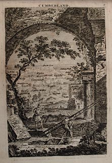 click to enlarge
JL05.jpg
"Wigton"
view (sort of)
item:- Carlisle Library : 4.2
Image © Carlisle Library
item:- storm, 1756
 goto source
Gentleman's Magazine 1758 p.427
Sumary of the content of article XXIV in Philosophical Transactions, published by the Royal Society, vol.50 part 1,1757. "XXIV. An account of the effects of a storm at Wigton in Cumberland."
"On Dec. 6, 1756, about 11 o'clock at night, a violent hurricane began, which lasted till near three in the morning; it swept away many stacks of hay and corn, unroofed many houses, and laid several in ruins, tore up some trees by the roots, and snapt others off in the middle, scattering the branches in fragments over the adjacent fields; some were twisted almost round, others split down to the root. Every herb, plant, and flower, to a considerable distance has its leaves withered , shrivelled up, and turned black; the leaves on the trees on the weather side were in the same condition, and the ever-greens only escaped. The alteration produced in the plants, leaves, and flowers, was at first supposed to be the effect of lightning, but it was afterwards found that though little rain had fallen during the storm, yet these vegetables were covered with a dew as salt as sea water, and retained a saline taste for near a week. It was then conjectured that the withered appearance of the leaves and herbage was the effect of this salt dew, as the same is known to happen to the leaves of hedges and trees, near the coast on that side next the sea, after a strong wind in that direction, which is supposed to bring the sea-water with it, the leaves next the land retaining their verdure."
placename:- Wigton
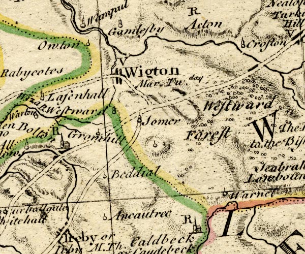
BO18NY24.jpg
"Wigton Mar. Tu.day / V"
blocks on road, town, market, vicarage
item:- Armitt Library : 2008.14.10
Image © see bottom of page
placename:- Wigton
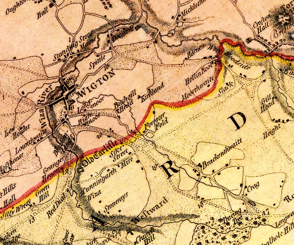
D4NY24NE.jpg
"WIGTON"
blocks, perhaps a church, labelled in block caps; a town
item:- Carlisle Library : Map 2
Image © Carlisle Library
placename:- Wigton
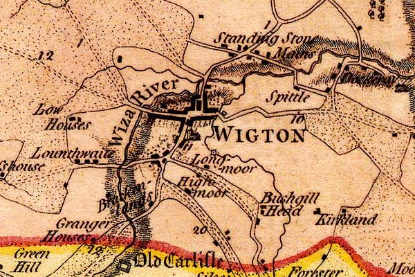
DN04Wgtn.jpg
"WIGTON"
Labelled in block caps for a market town; street map.
item:- Carlisle Library : Map 2
Image © Carlisle Library
placename:- Wigton

D4NY24NE.jpg
"WIGTON"
blocks, perhaps a church, labelled in block caps; a town
item:- Carlisle Library : Map 2
Image © Carlisle Library
placename:- Wigton

DN04Wgtn.jpg
"WIGTON"
Labelled in block caps for a market town; street map.
item:- Carlisle Library : Map 2
Image © Carlisle Library
placename:- Wigton
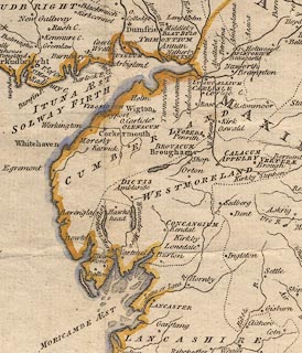 click to enlarge
PEN1Cm.jpg
"Wigton"
circle with side bars and spike; town
item:- private collection : 66
Image © see bottom of page
placename:- Wigton
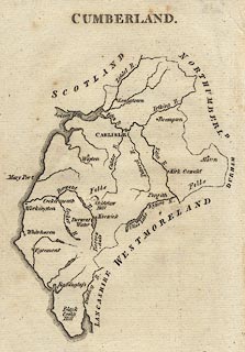 click to enlarge
AIK3.jpg
"Wigton"
circle; town
item:- JandMN : 145
Image © see bottom of page
placename:- Wigton
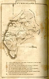 click to enlarge
BY04.jpg
"Wigton"
group of blocks; town
item:- Armitt Library : A680.2
Image © see bottom of page
placename:- Wigton
 goto source
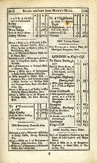 click to enlarge
C38321.jpg
page 321-322 "Wigton"
market town, post office
item:- JandMN : 228.1
Image © see bottom of page
placename:- Wigton
 goto source
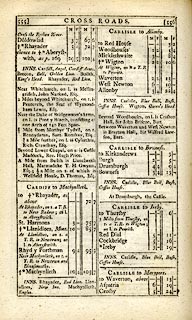 click to enlarge
C38555.jpg
page 555-556 "Wigton / At Wigton, on l. a T.R. to Penrith."
market town, post office "INNS. ... Wigton, Queen's Head."
item:- JandMN : 228.2
Image © see bottom of page
placename:- Wigton
 click to enlarge
GRA1Cd.jpg
"Wigton / 302"
blocks, upright lowercase text; town, distance from London
item:- Hampshire Museums : FA2000.62.2
Image © see bottom of page
placename:- Wigton
 click to enlarge
GRA1Lk.jpg
"Wigton"
blocks, upright lowercase text; town
item:- Hampshire Museums : FA2000.62.5
Image © see bottom of page
placename:- Wigton
 click to enlarge
Lw18.jpg
"Wigton 368¼"
market town; distance from London; travellers supplied with post horses or carriages
item:- private collection : 18.18
Image © see bottom of page
placename:- Wigton
item:- population; market; fair
 goto source
"..."
"WIGTON, a market town and parish in Cumberland ward, Cumberland, 12 miles from Carlisle, and 305 from London; containing 562 houses and 2744 inhabitants. The church and many of the buildings have been erected near the ruins of an ancient Roman work, called Caer Leol. Market on Tuesday; and it has a fair, on the 25th of March. It is a vicarage, value 17l. 9s. in the patronage of the bishop of Carlisle."
"..."
placename:- Wigton
 click to enlarge
COP3.jpg
"Wigton"
circle; village or hamlet
item:- JandMN : 86
Image © see bottom of page
placename:- Wigton
 click to enlarge
WL13.jpg
"Wigton / 302"
town; distance from London
item:- Dove Cottage : 2009.81.10
Image © see bottom of page
item:- fire, Rose Castle; fire, Wigton; Wars of Scottish Independence; incursion, 1322
 goto source
Gentleman's Magazine 1819 part 1 p.505
From the Compendium of County History:- "1322. Rose castle and Wigton town burnt, and Holme Cultram abbey, where his father was buried, destroyed by Robert Bruce King of Scotland, who devastated the Western side of this county to Duddon sands."
placename:- Wigton
 click to enlarge
HA14.jpg
"Wigton / 304"
circle, upright lowercase text; town; distance from London
item:- JandMN : 91
Image © see bottom of page
placename:- Wigton
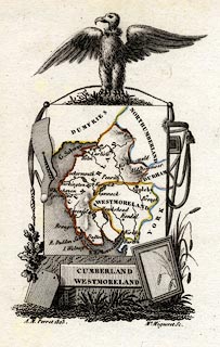 click to enlarge
PER2.jpg
"Wigton"
circle; town
item:- Dove Cottage : 2007.38.45
Image © see bottom of page
placename:- Wigton
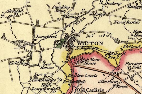
gw12wgtn.jpg
"WIGTON"
street map; labelled in block caps for a market town.
item:- National Library of Scotland : EME.b.3.11
Image © National Library of Scotland
placename:- Wigton
 click to enlarge
COB5.jpg
"Wigton"
dot and circle; town
item:- JandMN : 117
Image © see bottom of page
placename:- Wigton
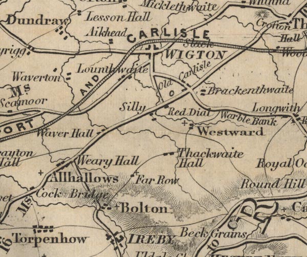
FD02NY24.jpg
"WIGTON"
item:- JandMN : 100.1
Image © see bottom of page
placename:- Wigton
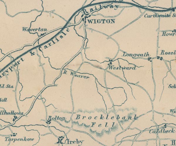
GAR2NY24.jpg
"WIGTON"
blocks, settlement
item:- JandMN : 82.1
Image © see bottom of page
placename:- Wigton
 goto source
Page 21:- "..."
"Wigton market was over, and its bare booths were smoking with rain all down the street. Mr. Thomas Idle, melodramatically carried to the inn's first floor, and laid upon three chairs (he should have had the sofa, if there had been one), Mr. Goodchild went to the window to take an observation of Wigton, and report what he saw to his disabled companion."
""Brother Francis, brother Francis," cried Thomas Idle, "What do you see from the turret?""
""I see," said Brother Francis, "what I hope and believe to be one of the most dismal places ever seen by eyes. I see the houses with their roofs of dull black, their stained fronts, and their dark-rimmed windows, looking as if they were all in mourning. As every little puff of wind comes down the street, I see a perfect train of rain let off along the wooden stalls in the market-place and exploded against me. I see a very big gas lamp in the centre of which I know, by a secret instinct, will not be lighted tonight. I see a pump, with a trivet underneath its"
 goto source
Page 22:- "spout whereon to stand the vessels that are brought to be filled with water. I see a man come to pump, and he pumps very hard, but no water follows, and he strolls empty away.""
""Brother Francis, brother Francis," cried Thomas Idle, "what more do you see from the turret, besides the man and the pump, and the trivet and the houses all in mourning and the rain?""
""I see," said Brother Francis, "one, two, three, four, five linen-drapers' shops in front of me. I see a linen-draper's shop next door to the right - and there are five more linen-drapers' shops down the corner to the left. Eleven homicidal linen-drapers' shops within a short stone's throw, each with its hands at the throats of all the rest! Over the small first-floor of one of these linen-drapers' shops appears the wonderful inscription, BANK.""
""Brother Francis, brother Francis," cried Thomas Idle, "what more do you see from the turret, besides the eleven homicidal linen-drapers' shops and the wonderful inscription 'Bank' on the small first-floor, and the man and the pump and the trivet and the houses all in mourning and the rain?""
""I see," said Brother Francis, "the depository for Christian Knowledge, and through the dark vapour I think I again make out Mr. Spurgeon looming heavily. Her Majesty the Queen, God bless her, printed in colours, I am sure I see. I see the Illustrated London News of several years ago, and I see a sweet-meat shop - which the proprietor calls a 'Salt Warehouse' - with one small female child in a cotton bonnet looking in on tip-toe, oblivious of rain. And I see a watchmaker's with only three great pale watches of a dull metal hanging in his widow, each in a separate pane.""
""Brother Francis, brother Francis," cried Thomas Idle, "what more do you see of Wigton, besides these objects, and the man and the pump and the trivet and the houses all in mourning and the rain?""
""I see nothing more," said Brother Francis, "and there is nothing more to see, except the curlpaper bill of the theatre, which was opened and shut last week (the manager's family played all the parts), and the short, square, chinky omnibus that goes to the railway, and leads too rattling a life over the stones to hold together long. O yes! Now, I see two men"
 goto source
Page 23:- "with their hands in their pockets and their backs towards me.""
""Brother Francis, brother Francis," cried Thomas Idle, "what do you make out from the turret, of the expression of the two men with their hands in their pockets and their backs towards you?""
""They are mysterious men," said Brother Francis, "with inscrutable backs. They keep their backs towards me with persistency. If one turns an inch in any direction, the other turns an inch in the same direction, and no more. They turn very stiffly, on a very little pivot, in the middle of the market-place. Their appearance is partly of a mining, partly of a ploughing, partly of a stable, character. They are looking at nothing - very hard. Their backs are slouched, and their legs are curved with much standing about. Their pockets are loose and dog's-eared, on account of their hands being always in them. They stand to be rained upon, without any movement of impatience or dissatisfaction, and they keep so close together that an elbow of each jostles an elbow of the other, but they never speak. They spit at times, but speak not. I see it growing darker and darker, and I still see them, sole visible population of the place, standing to be rained upon with their backs towards me, and looking at nothing very hard,""
""Brother Francis, brother Francis," cried Thomas Idle, "before you draw down the blind of the turret and come in to have your head scorched by the hot gas, see if you can, and impart to me, something of the expression of those two amazing men.""
""The murky shadows," said Francis Goodchild, "are gathering fast; and the wings of evening, and the wings of coal, are folding over Wigton. Still, they look at nothing very hard, with their backs towards me. Ah! Now, they turn, and I see -""
""Brother Francis, brother Francis," cried Thomas Idle, "tell me quickly what you see of the two men of Wigton!""
""I see," said Francis Goodchild, "that they have no expression at all. And now the town goes to sleep, undazzled by the large unlighted lamp in the market-place; and let no man wake it.""
"..."
placename:- Wigton
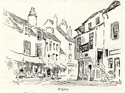 click to enlarge
BRL171.jpg
On page 265 of Highways and Byways in the Lake District, by A G Bradley.
printed at bottom:- "Wigton."
item:- JandMN : 464.71
Image © see bottom of page
item:- coal
MSN1P025.txt
Page 25:- "..."
"A coal-field stretches from Wigton to Whitehaven."
placename:- Wigeton
item:- market
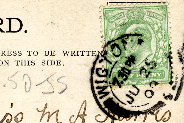
CCS58.jpg Postmark:-
"WIGTO[ ] / 7 30 PM / JU 25 / 0[ ]" Stamp - Edward VII, halfpenny, green
 Post Office maps
 longcase clocks
: Bragg, Melvyn
: Lowe, Charlotte; Johnston, Charlotte, Mrs; Deans, Charlotte, Mrs
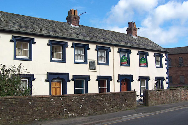 |
NY255482 College of Matrons (Wigton) L |
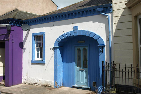 |
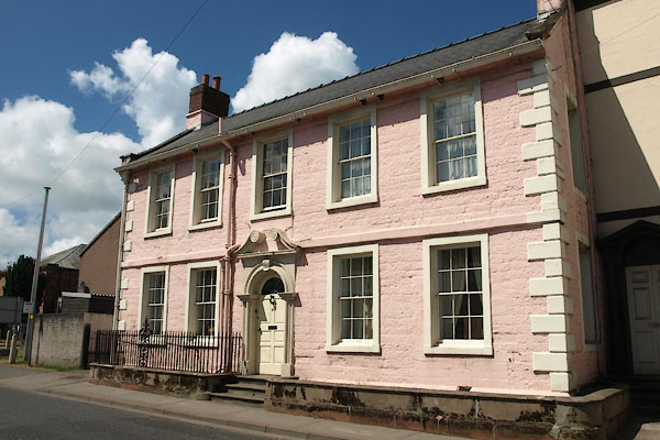
NY25534852 Alverton (Wigton) |
 |
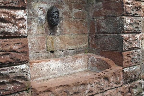
NY25404834 Arlosh House (Wigton) L |
 |
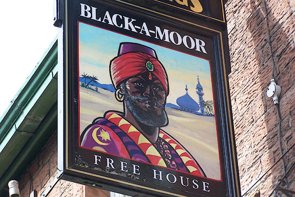
NY25394897 Belted Will Trough (Wigton) |
 |
NY25694857 Black-a-Moor Hotel (Wigton) |
 |
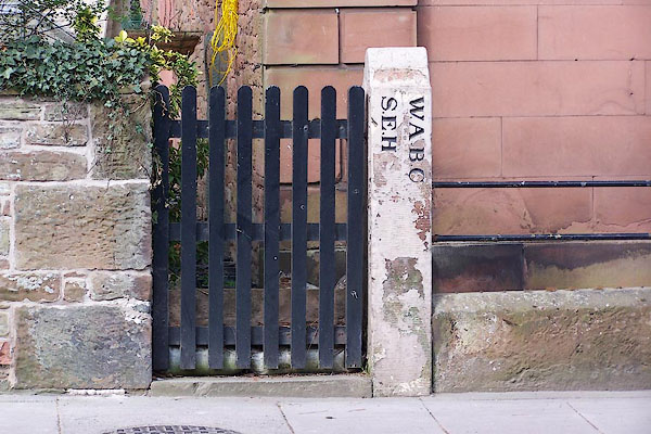
NY25514866 Bog (Wigton) |
 |
NY25574803 boundary stone, Wigton (Wigton) L |
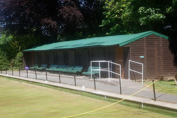 |
NY25044851 bowling green, Wigton (Wigton) |
 |
NY25414830 bowling green, Wigton (2) (Wigton) gone |
 |
NY25764730 Brackenlands Farm (Wigton) |
 |
NY25774725 Brackenlands (Wigton) |
 |
NY25704838 brewery, Wigton (Wigton) gone? |
 |
NY24224789 Brookfield School (Wigton) L |
 |
NY24044781 Brookfield Station (Wigton) gone |
 |
NY25754826 Brookside Works (Wigton) |
 |
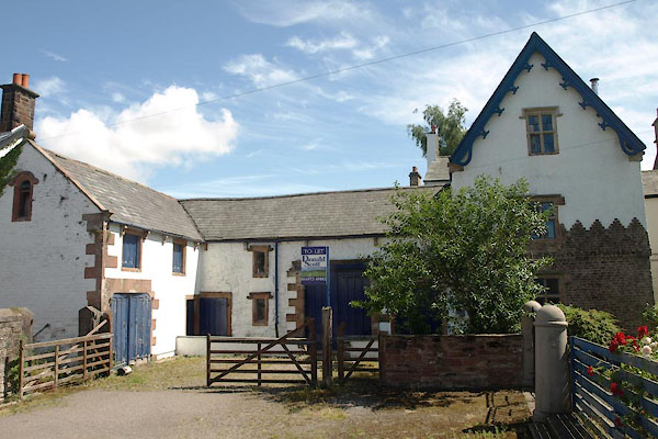
NY25794860 Burnfoot Bridge (Wigton) |
 |
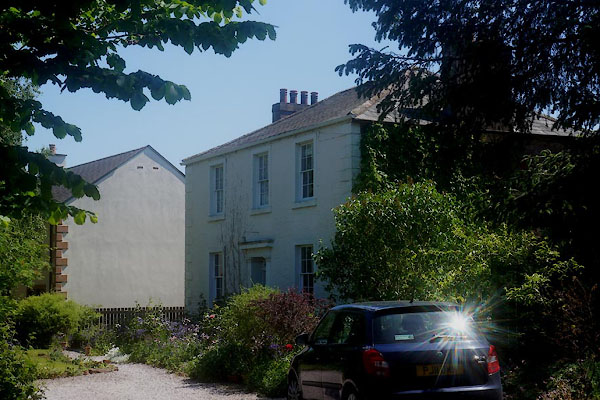
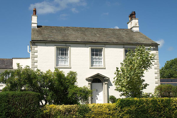
NY25764857 Burnfoot Grange (Wigton) |
 |
NY25794864 Burnfoot House (Wigton) L |
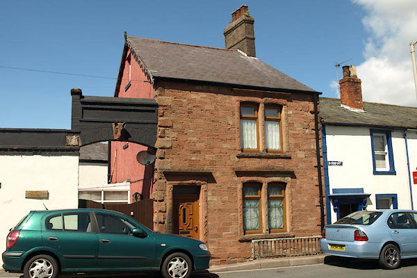 |
NY25764860 Burnfoot Lodge (Wigton) |
 |
NY25724857 Burnfoot (Wigton) |
 |
NY25634832 chapel, Wigton (Wigton) L |
 |
NY2548 St Leonard's Chapel (Wigton) |
 |
NY25464855 chapel, Wigton (3) (Wigton) |
 |
NY25484810 chapel, Wigton (4) (Wigton) |
 |
NY25654848 chapel, Wigton (5) (Wigton) |
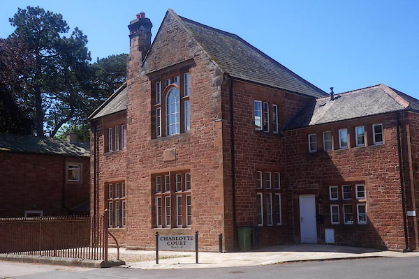 |
NY25574805 Charlotte Court (Wigton) |
 |
NY26164864 Clay Dubs (Wigton) |
 |
NY25474840 Commercial Hotel (Wigton) |
 |
NY25854871 Sisters of Mercy (Wigton) |
 |
NY25384847 Coupland (Wigton) |
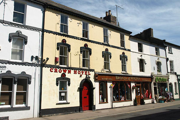 |
NY25504830 Crown Hotel (Wigton) |
 |
NY25274874 dye works, Wigton (Wigton) |
 |
NY25424883 dye works, Wigton (2) (Wigton) gone? |
 |
NY25814850 dye works, Wigton (3) (Wigton) |
 |
NY25954829 dye works, Wigton (4) (Wigton) gone |
 |
NY25964869 East End School (Wigton) |
 |
NY25554801 Flosh House (Wigton) |
 |
NY25864847 gas works, Wigton (Wigton) |
 |
NY25284906 Grange Bank (Wigton) |
 |
NY25584773 Greyhound Inn (Wigton) gone? |
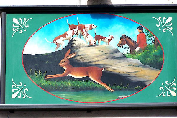 |
NY25444837 Hare and Hounds (Wigton) L |
 |
NY26214753 Highmoor Farm (Wigton) |
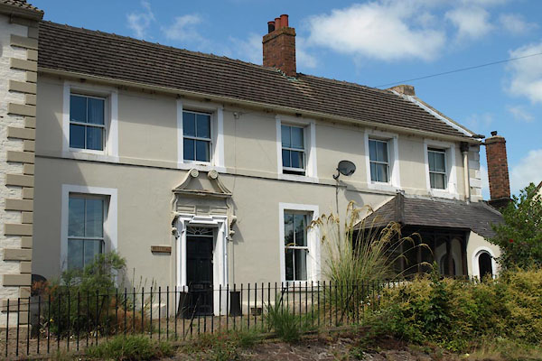
 |
NY26194761 Highmoor (Wigton) |
 |
NY25664855 Hill View (Wigton) |
 |
NY25594783 Holy Well (Wigton) |
 |
NY25754855 Burnfoot (Wigton) L |
 |
NY26124885 Howriggbank (Wigton) |
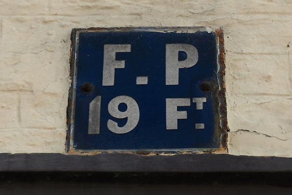 |
NY25524849 hydrant plate, Wigton (Wigton) |
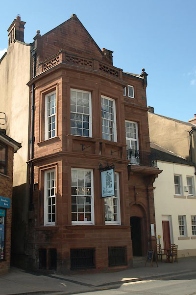 |
NY25544826 Kildare, The (Wigton) L |
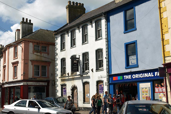 |
NY25494843 Kings Arms (Wigton) L |
 |
NY26404864 Kirkland Gardens (Wigton) L |
 |
NY25604839 lamp post, Wigton (Wigton) L |
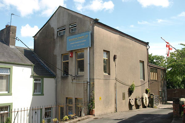 |
NY25744846 Wilkinson Joinery (Wigton) |
 |
NY25644872 lemonade factory, Wigton (Wigton) |
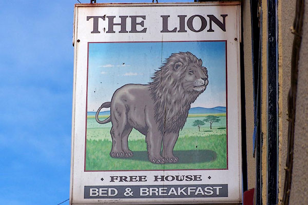 |
NY25544832 Lion, The (Wigton) L |
 |
NY26344817 Little Mill (Wigton) gone |
 |
NY25694763 lodge, Wigton (Wigton) |
 |
NY24444844 Longhead (Wigton) |
 |
NY26074798 Longmoor House (Wigton) |
 |
NY26194796 Longmoor (Wigton) |
 |
NY25374881 Low Wiza Bridge (Wigton) |
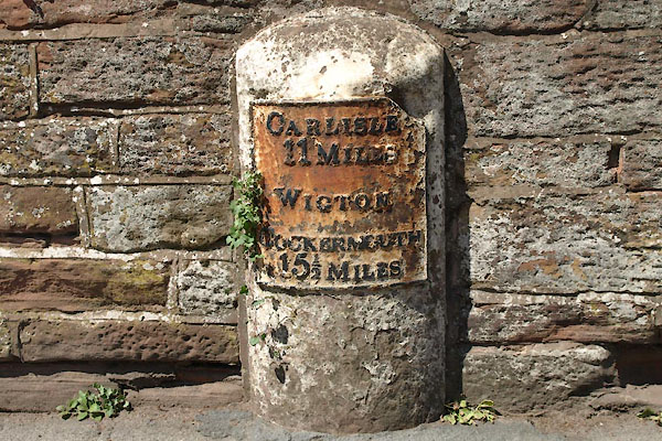 |
NY25884864 milestone, Wigton (Wigton) L |
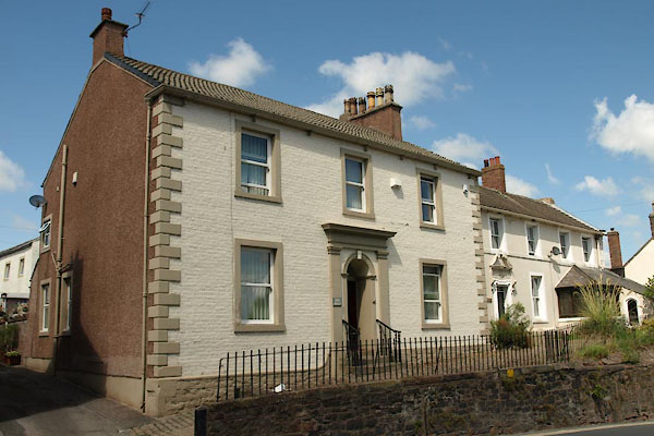 |
NY25644852 Mill House (Wigton) |
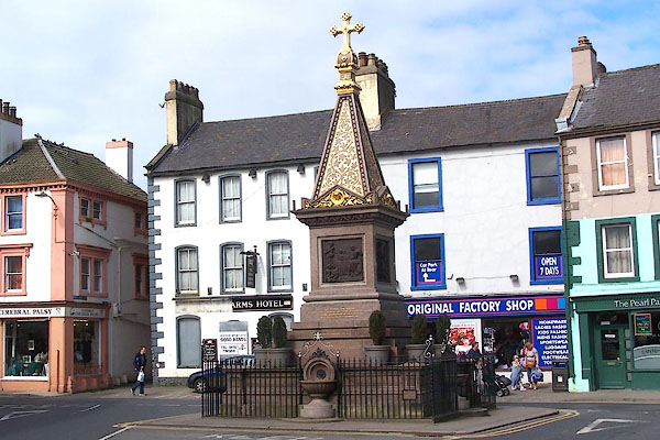 |
NY25494839 Moore Memorial Fountain (Wigton) L |
 |
NY25674770 Mount Pleasant (Wigton) gone? |
 |
NY25844802 Nelson Thomlinson School (Wigton) L out of sight |
 |
NY25604855 North View (Wigton) |
 |
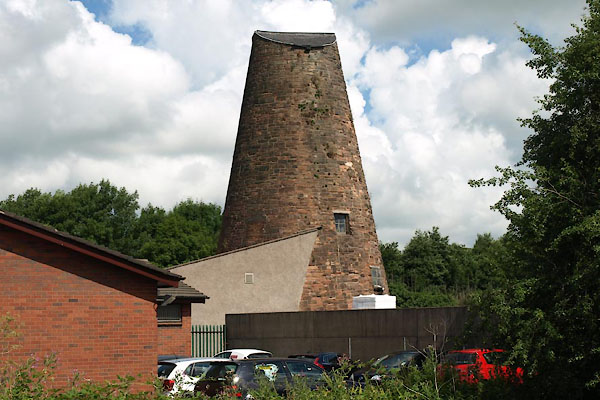
NY25764861 Old Brewery (Wigton) gone? |
 |
NY25414886 Old Lane Mill (Wigton) L |
 |
NY25684875 Old Print Works (Wigton) |
 |
NY25594784 pinfold, Wigton (Wigton) gone? |
 |
NY25684853 police station, Wigton (Wigton) gone |
 |
NY25604839 Wigton Pump (Wigton) L |
 |
NY255484 Queen's Head (Wigton) |
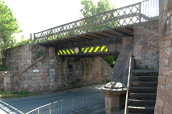 |
NY25344889 railway bridge, Wigton (Wigton) |
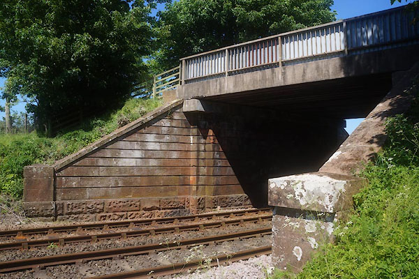 |
NY24264809 railway bridge, Wigton (2) (Wigton) |
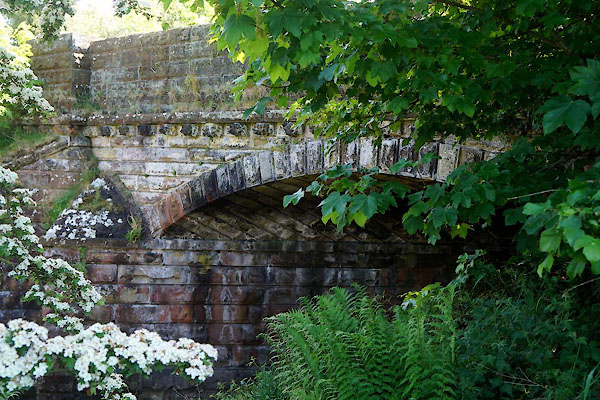 |
NY24134791 railway bridge, Woodside (Woodside) |
 |
NY25374886 Railway Hotel (Wigton) gone |
 |
NY25474824 rope works, Wigton (Wigton) gone? |
 |
NY24204808 Rose Cottage (Wigton) |
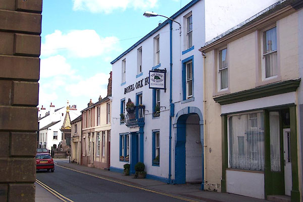 |
NY25464835 Royal Oak Hotel (Wigton) |
 |
NY25444883 saw mill, Wigton (Wigton) |
 |
NY25564781 South End (Wigton) |
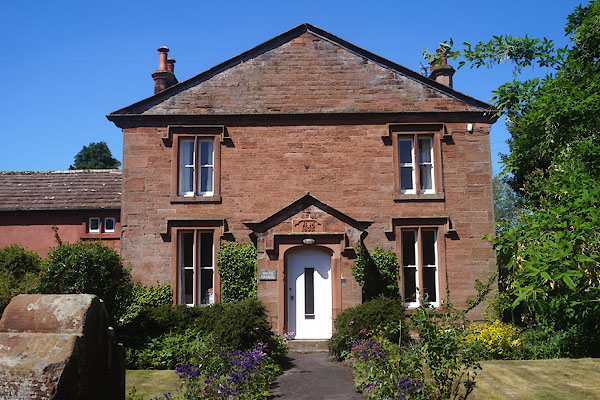 |
NY25524784 South Grange (Wigton) L |
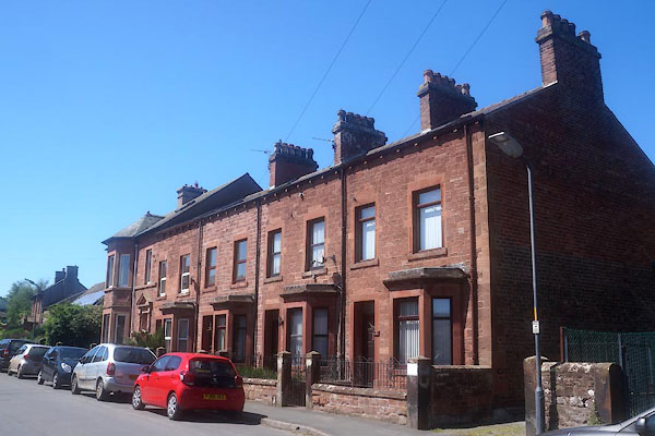 |
NY25514779 South Terrace (Wigton) |
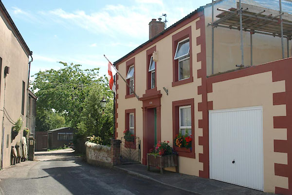 |
NY25724845 Southward House (Wigton) |
 |
NY25854867 St Cuthbert's Church (Wigton) |
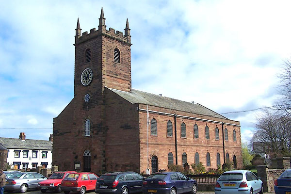 |
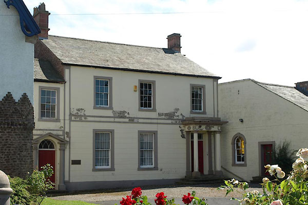
NY25594827 St Mary's Church (Wigton) L |
 |
NY25754854 St Ursula's Convent School (Wigton) L |
 |
NY25134891 Station Hill (Wigton) |
 |
NY2548 Strand (Wigton) |
 |
NY25794859 Strand Well (Wigton) |
 |
NY24744816 Swinegate (Wigton) |
 |
NY25424880 tanyard, Wigton (Wigton) |
 |
NY25454856 tanyard, Wigton (2) (Wigton) gone |
 |
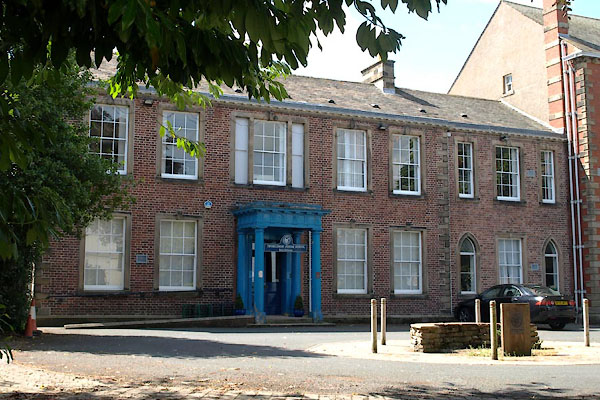
NY25754826 tanyard, Wigton (3) (Wigton) |
 |
NY25554815 Thomlinson Junior School (Wigton) L |
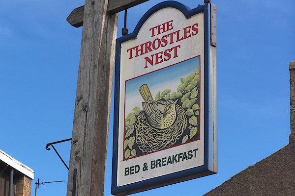 |
NY25634852 Throstles Nest (Wigton) |
 |
NY25574802 toll gate, Wigton (Wigton) |
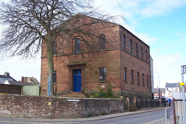 |
NY256483 United Reformed Church (Wigton) |
 |
NY25634809 Vicarage (Wigton) L out of sight |
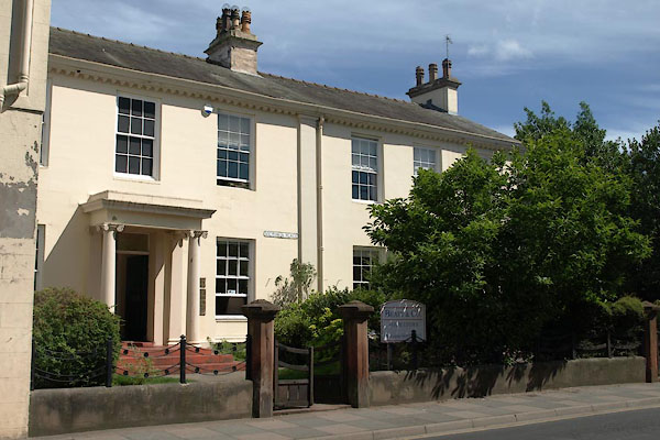 |
NY25604814 Victoria Place (Wigton) L |
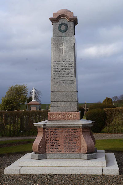 |
NY24494899 war memorial, Wigton (Wigton) |
 |
NY26194855 Well House (Wigton) |
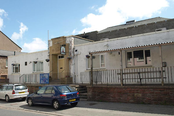 |
NY25424832 West Street Social Club (Wigton) |
 |
NY24414817 Western Bank (Wigton) |
 |
NY25864861 White Row (Wigton) |
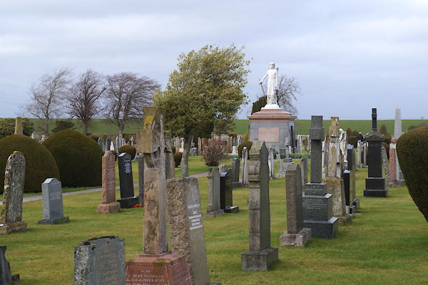 |
NY24494908 Wigton Cemetery (Wigton) |
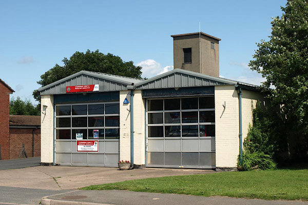 |
NY25454867 Wigton Fire Station (Wigton) |
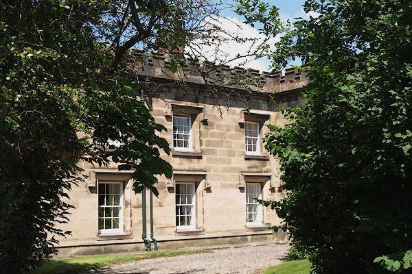 |
NY25304828 Wigton Hall (Wigton) L |
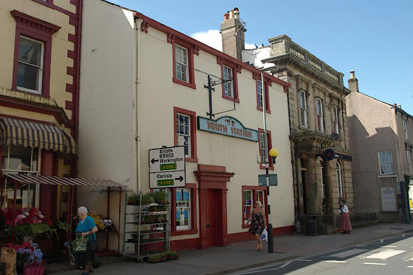 |
NY25514833 Youth Station (Wigton) L |
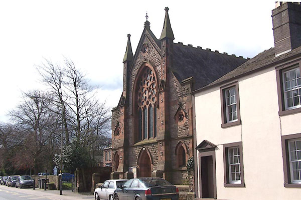 |
NY25584820 Wigton Methodist Church (Wigton) |
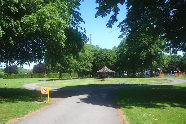 |
NY25014845 Wigton Park (Wigton) |
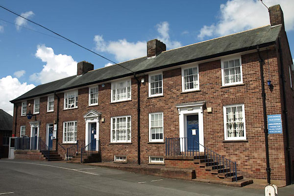 |
NY25434856 Wigton Police Station (Wigton) |
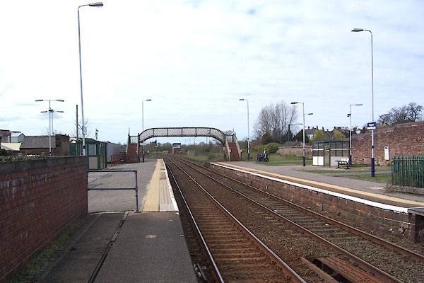 |
NY25304888 Wigton Station (Wigton) |
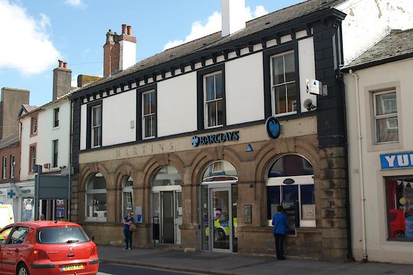 |
NY25524841 Barclays Bank (Wigton) |
 |
NY25574834 Church Street (Wigton) |
 |
NY25574826 Corn Market (Wigton) |
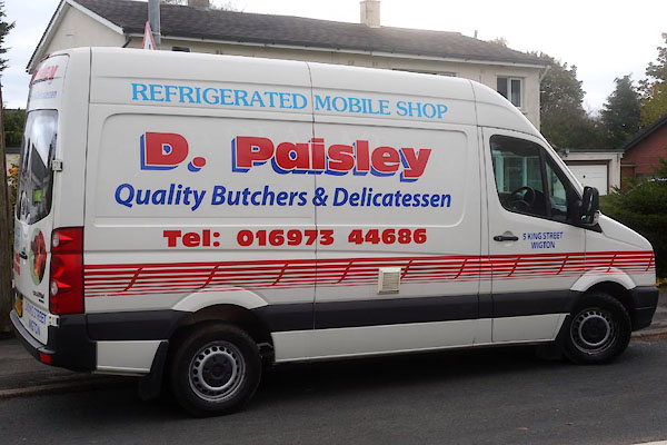 |
NY25504841 D Paisley butcher (Wigton) |
 |
NY25494811 George Street (Wigton) |
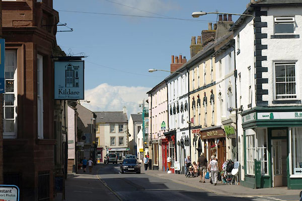 |
NY25554826 High Street (Wigton) |
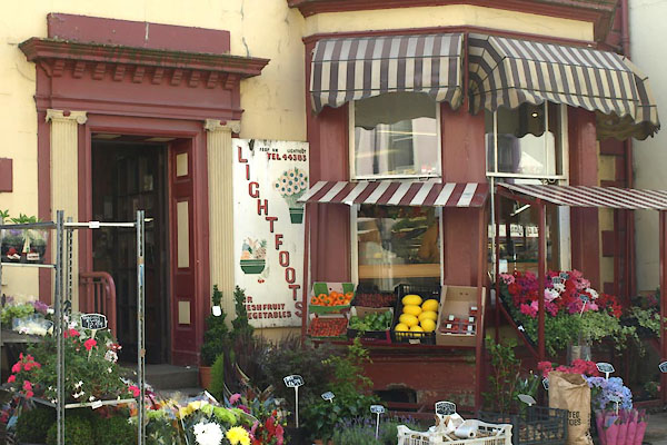 |
NY25524832 Lightfoots (Wigton) L |
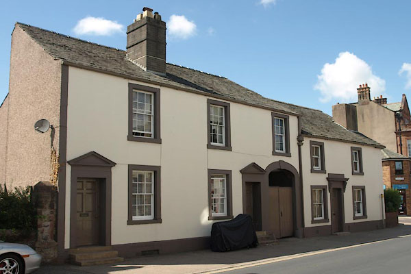 |
NY25554821 Wigton: High Street, 46 to 50 (Wigton) L |
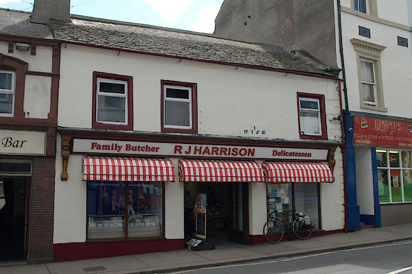 |
NY25544843 J Harrison butcher (Wigton) |
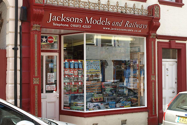 |
NY25504851 Jacksons Models (Wigton) |
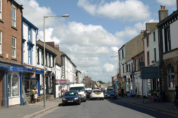 |
NY25584848 King Street (Wigton) |
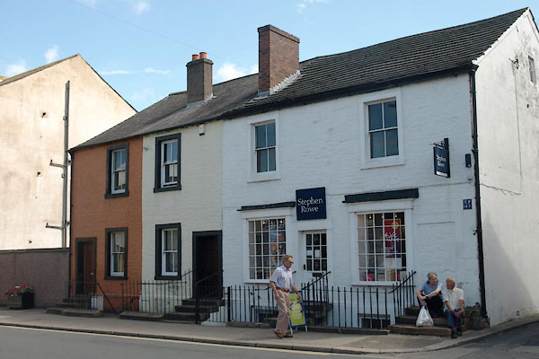 |
NY25634849 Wigton: King Street, 54 to 60 (Wigton) L |
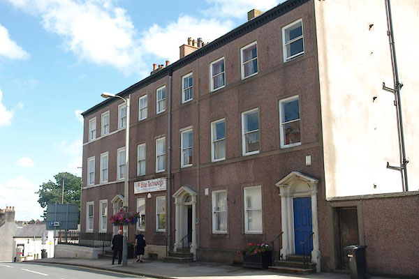 |
NY25644851 Wigton: King Street, 62 to 66 (Wigton) L |
 |
NY25804836 Little Lane (Wigton) |
 |
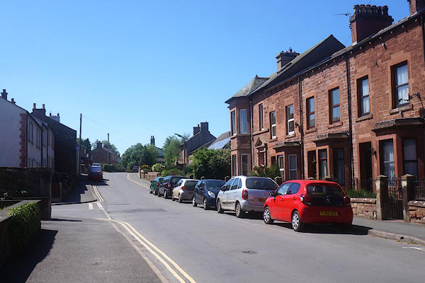
NY26044792 Longmoor Lane (Wigton) |
 |
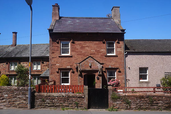
NY25484772 Longthwaite Road (Wigton) |
 |
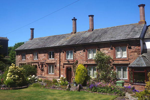
NY25484775 Wigton: Longthwaite Road, 8 (Wigton) |
 |
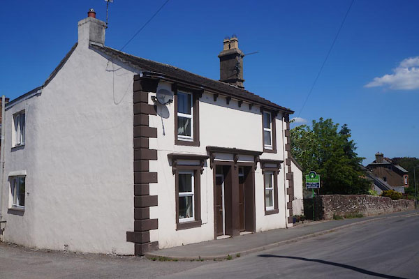
NY25464774 Wigton: Longthwaite Road, 10 and 12 (Wigton) L |
 |
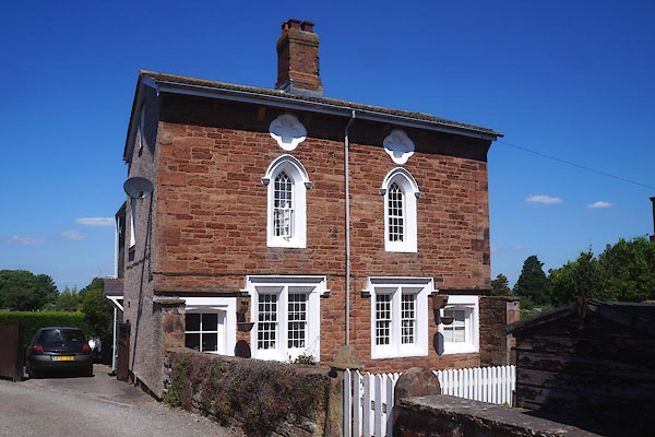
NY25454771 Wigton: Longthwaite Road, 14 and 16 (Wigton) |
 |
NY25434772 Wigton: Longthwaite Road, 18 and 20 (Wigton) L |
 |
NY25684849 Market Hill (Wigton) |
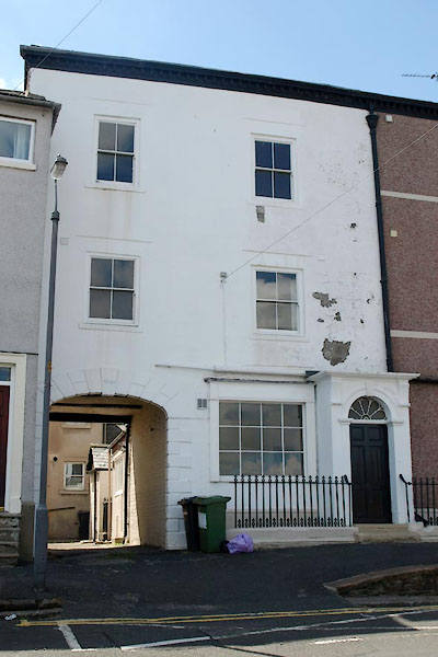 |
NY25664851 Wigton: Market Hill, 4 (Wigton) |
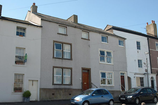 |
NY25664850 Wigton: Market Hill, 5 (Wigton) L |
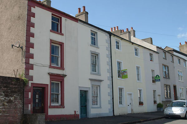 |
NY25684849 Wigton: Market Hill, 7 to 12 (Wigton) L |
 |
NY25494838 Market Place (Wigton) |
 |
NY25724856 Markethill Brow (Wigton) |
 |
NY25464849 Meetinghouse Lane (Wigton) |
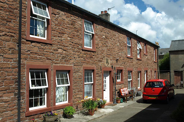 |
NY25454852 Wigton: Meetinghouse Lane, 11 (Wigton) |
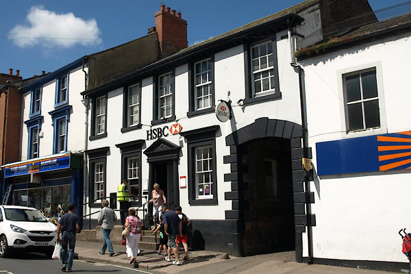 |
NY25514843 Midland Bank (Wigton) L |
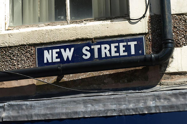 |
NY25514852 New Street (Wigton) |
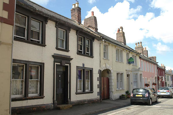 |
NY25514849 Wigton: New Street, 13 and 29 (Wigton) L |
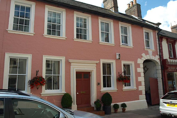 |
NY25514850 Wigton: New Street, 31 (Wigton) L |
 |
NY25524854 Old Lane (Wigton) |
 |
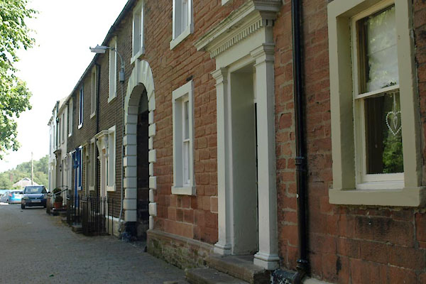
NY25464838 Penrice Drapers (Wigton) L |
 |
NY25604823 Proctor's Row (Wigton) L |
 |
NY25654844 Reeds Lane (Wigton) |
 |
NY25934829 Stony Banks (Wigton) |
 |
NY25814846 Tenters (Wigton) |
 |
NY25364842 Union Street (Wigton) |
 |
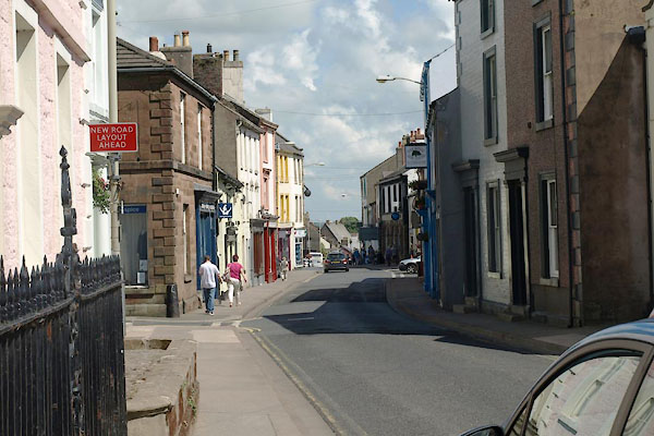
NY25614838 Water Street (Wigton) |
 |
NY25394831 West Street (Wigton) |
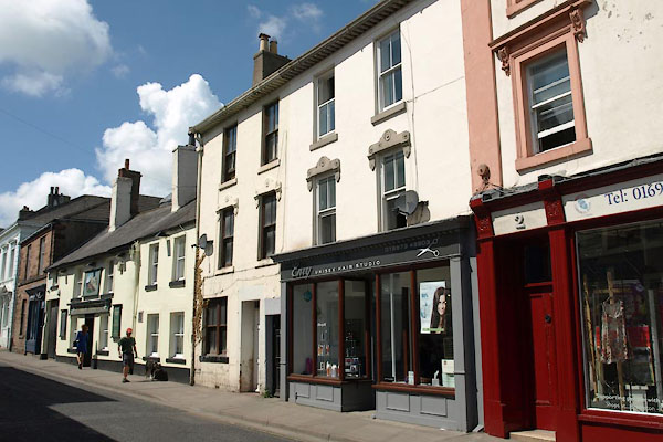 |
NY25454838 Wigton: West Street, 4 and 6 (Wigton) L |
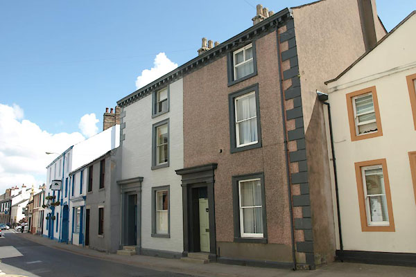 |
NY25444834 Wigton: West Street, 11 to 13 (Wigton) L |
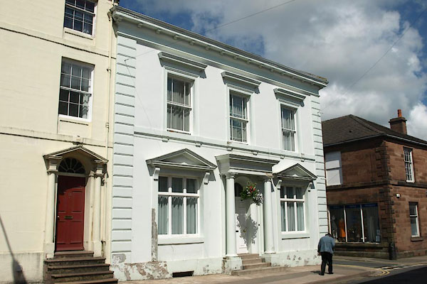 |
NY25424835 Wigton: West Street, 14 (Wigton) L |
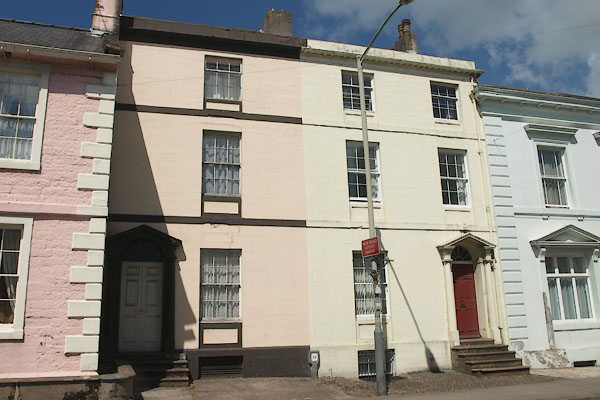 |
NY25414835 Wigton: West Street, 16 and 18 (Wigton) L |
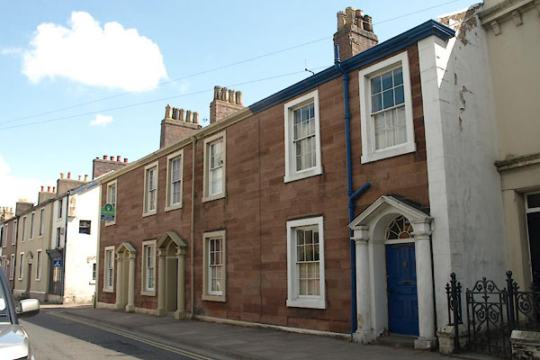 |
NY25384828 Wigton: West Street, 31 to 35 (Wigton) L |
 |
NY25514807 William Street (Wigton) |
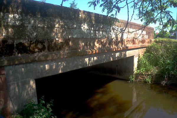 |
NY25024816 Wiza Bridge (Wigton) |
 |
NY24854903 Wigton Union Workhouse (Wigton) |
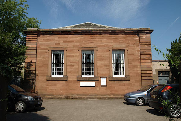 |
NY25364832 Wigton Meeting House (Wigton) L |
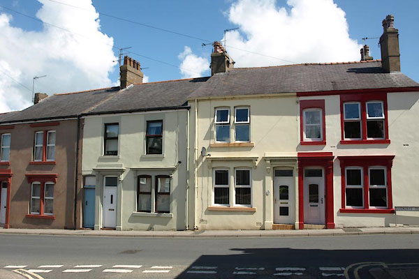 |
NY25474860 Ludgate Terrace (Wigton) |
 |
NY25544851 Wigton: New Street, 18 (Wigton) |
