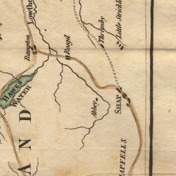
 West 1784 map NY51


|

|
|
|
gazetteer links places may or may not be labelled on the map |
||

|
-- Bampton |
|
|
|
-- Haweswater Beck |
|
|
|
-- Little Strickland |
|
|
|
-- Lowther, River |
|
|
|
-- Rosgill |
|
|
|
-- Shap Abbey -- "Abbey" |
|
|
|
-- Shap -- "SHAP" |
|
|
|
-- Swindale Beck |
|
|
|
-- Thrimby |
|
|
civil parishes The area roughly includes parts of parishes:- Newby Shap Little Strickland Sleagill Bampton Shap Rural Longsleddale Crosby Ravensworth Thrimby Lowther |
||
|
|
||
|
|
Lakes Guides menu. | |