button to main menu   West 1784 map NY33
date  bar
Note: some of these makers maps may not show this square
Note: click on map edges for adjacent squares

West 1784 map
(Area of roughly corresponding to West 1784 map NY33 plus overlaps, North at the top; the original map is printed with East at the top)

item:-  Armitt Library : A1221.1
image:-  © see bottom of page
gazetteer links

places may or may not be labelled on the map
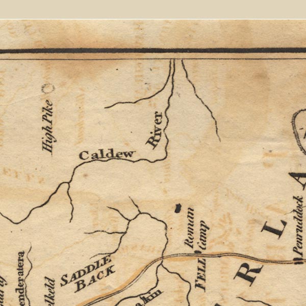
button -- Caldew, River
button -- Carrock Beck
button -- Gillcambon Beck

civil parishes

The area roughly includes parts of parishes:-

    Underskiddaw
    Caldbeck
    Mungrisdale
    Castle Sowerby
    Sebergham
    Greystoke
    Skelton

button to Lakes menu Lakes Guides menu.
goto NY23 goto NY43 goto NY22 goto NY32 goto NY42 goto index sheet