button to main menu   Saxton 1576 NY05
date  bar
Note: some of these makers maps may not show this square
Note: click on map edges for adjacent squares

Saxton 1576
(Area of roughly corresponding to Saxton 1576 NY05 plus overlaps, North at the top; the original map is printed with magnetic north 1576 at the top)

item:-  private collection (2)
image:-  © see bottom of page
gazetteer links

places may or may not be labelled on the map

button -- 
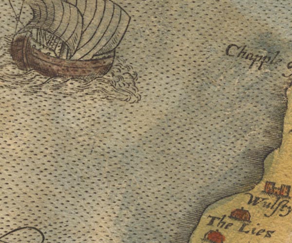
Lowsay -- "The Lies"

civil parishes

The area roughly includes parts of parishes:-

    Silloth-on-Solway
    Holme St Cuthbert
    Holme Low

button to Lakes menu Lakes Guides menu.
goto NY16 goto NY15 goto NY04 goto NY14 back to index map <>