 Otley 1818 NY34


|

|
|
|
gazetteer links places may or may not be labelled on the map |
||

|
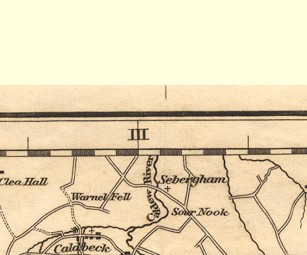
-- Caldew, River -- "Caldew R." |
|
|
|
-- Sebergham Bridge |
|
|
|
-- Sebergham |
|
|
|
-- Sour Nook |
|
|
|
-- Warnell Fell |
|
|
civil parishes The area roughly includes parts of parishes:- Thursby Dalston St Cuthbert Without Caldbeck Westward Castle Sowerby Skelton Sebergham |
||
|
|
||
|
|
Lakes Guides menu. | |