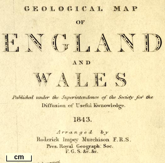
Geological Map of England and Wales, scale about 28 miles to
1 inch, by S P Woodward, engraved by J and C Walker,
coloured by T Maltby, published for the Society for the
Diffusion of Useful Knowledge, by Chapman and Hall, 186
Strand, London, 1843 (Woodward 1843)
You can open the stratigraphical column in a new
window to use with the map.
You have to close this new window by hand
 stratigraphical column.
Lakes Guides menu.