item:- Armitt Library : 2008.14.124.1
image:- © see bottom of page
 WT03.jpg
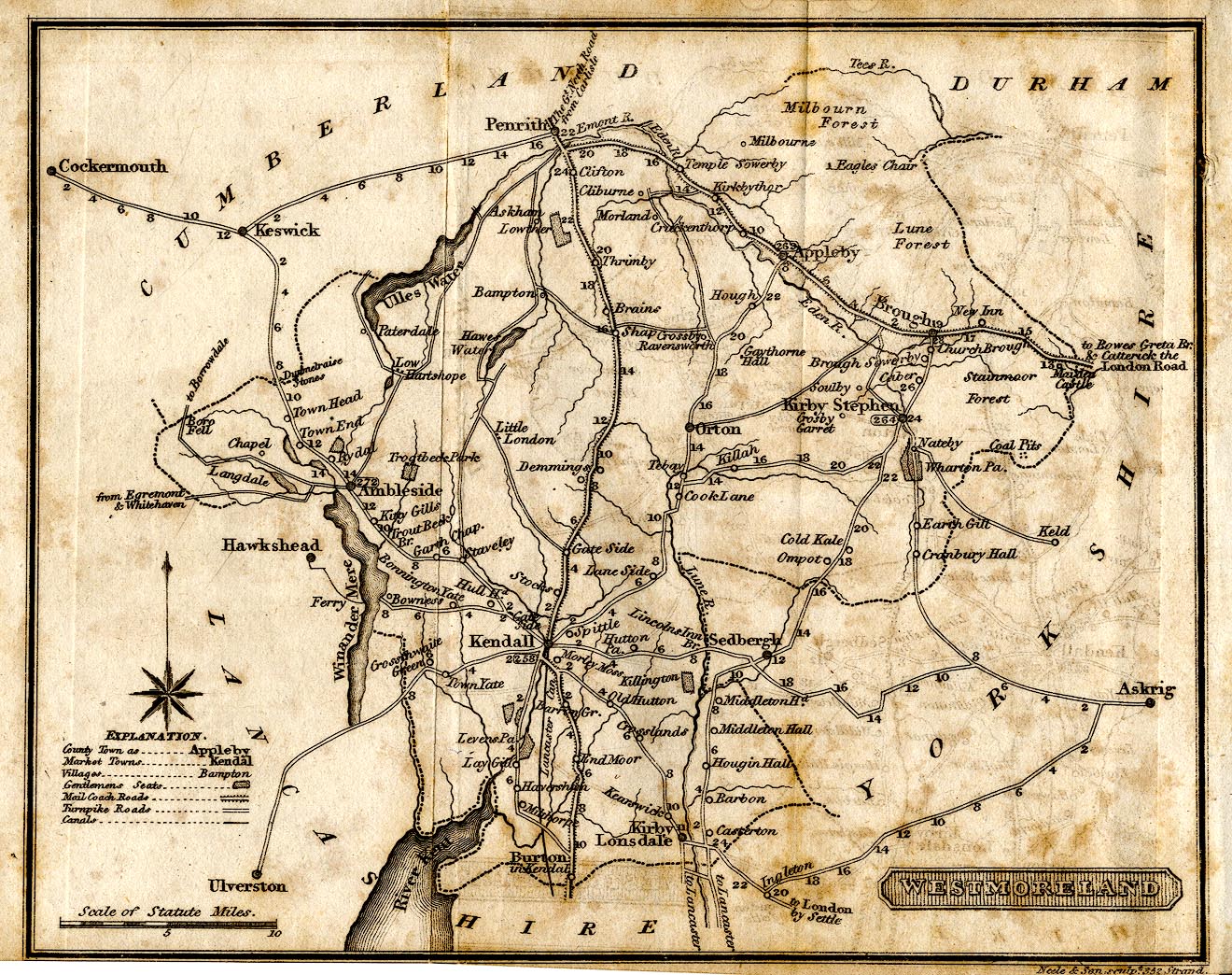
Map, uncoloured engraving, Westmoreland ie Westmorland, scale
about 8.5 miles to 1 inch, engraved by Neele and Son, 352
Strand, published by G and W B Whittaker, Ave Maria Lane,
London, 1822.
 Lakes Guides menu.