item:- JandMN : 127
image:- © see bottom of page
 WS24.jpg
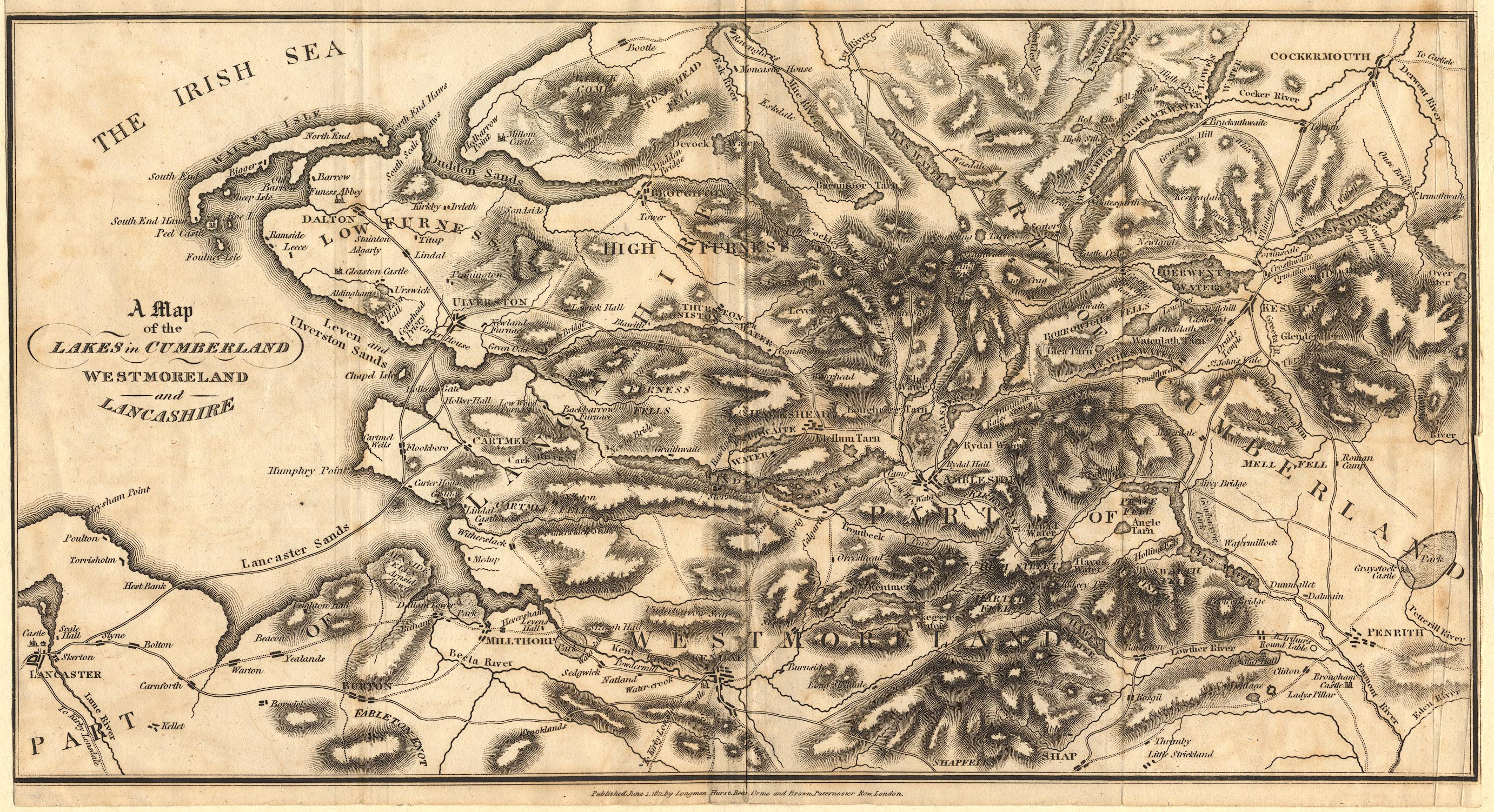
Map, uncoloured engraving, A Map of the Lakes in Cumberland,
Westmoreland and Lancashire, scale about 3.5 miles to 1 inch,
derived from Thomas West's map, 1784, published by Longman,
Hurst, Rees, Orme and Brown, Paternoster Row, London, 1811.
 Lakes Guides menu.