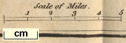
A Map of the Lakes in Cumberland, Westmorland and
Lancashire, scale about 3.5 miles to 1 inch, engraved by
Paas, 53 Holborn, London, included in the Guide to the Lakes
by Thomas West, published by William Pennington, Kendal,
Westmorland, and in London, from the 3rd edition 1784, to
1821. (West 1784 map)
 Lakes Guides menu.


 Lakes Guides menu.