item:-
Armitt Library : 2008.14.110
image:-
©
see bottom of page
WL10.jpg
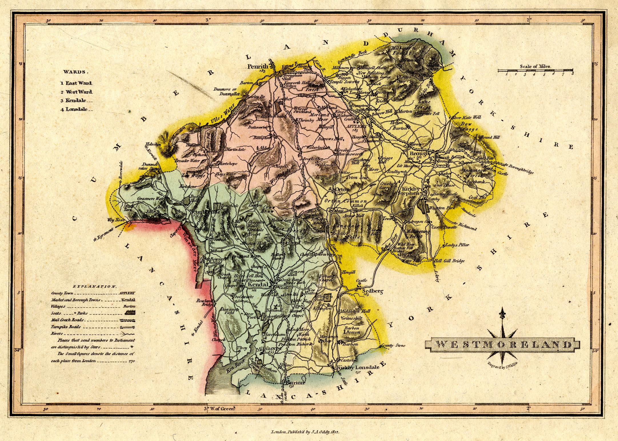
Map, hand coloured engraving, Westmoreland ie Westmorland, scale about 6 miles to 1 inch, by James Wallis, London, published by S A Oddy, London, 1812.
Lakes Guides menu.
 Lakes Guides menu.