item:- JandMN : 122
image:- © see bottom of page
 WKR4.jpg
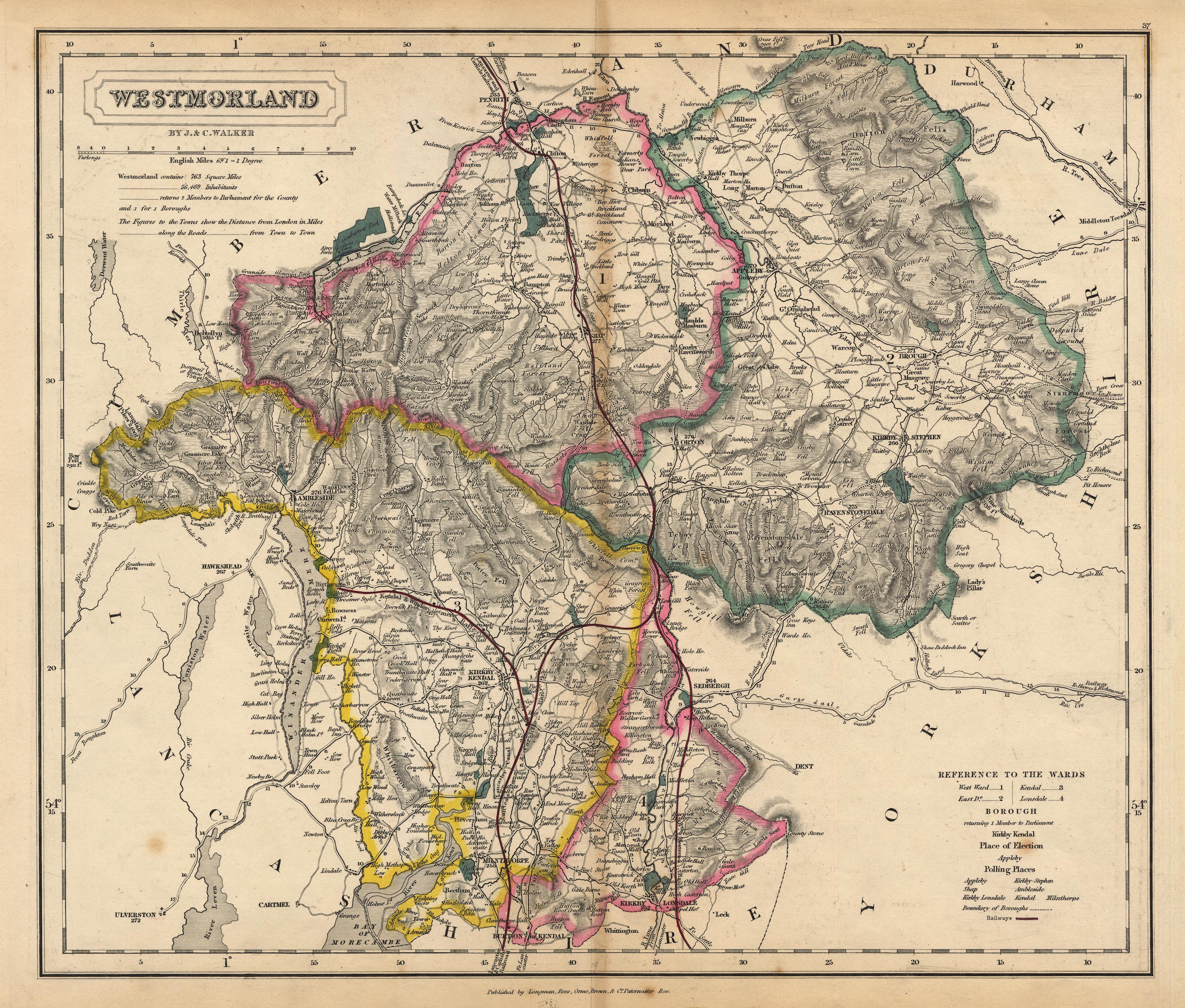
Map, Westmorland, scale about 3 miles to 1 inch, by J and C
Walker, about 1837, published by Longman, Rees, Orme, Brown,
Etc, Paternoster Row, London, 1837, edition about 1860s.
 Lakes Guides menu.