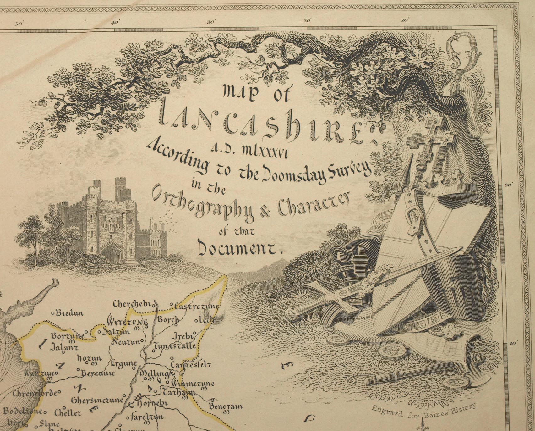
Map of Lancashire AD mlxxxvi According to the Doomsday Survey, scale about 6.5 miles to 1 inch, by Walker, 1831; reprinted 1843. (Walker 1831)
Lakes Guides menu.
 Lakes Guides menu.