item:-
Carlisle Library : Map 72
image:-
©
Carlisle Library
WK17P1.jpg
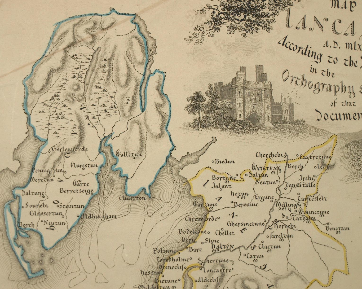
Map, hand coloured engraving, Map of Lancashire AD mlxxxvi According to the Doomsday Survey, scale about 6.5 miles to 1 inch, by Walker, 1831.
Lakes Guides menu.
 Lakes Guides menu.