item:- Armitt Library : 2008.14.32
image:- © see bottom of page
 WK15.jpg
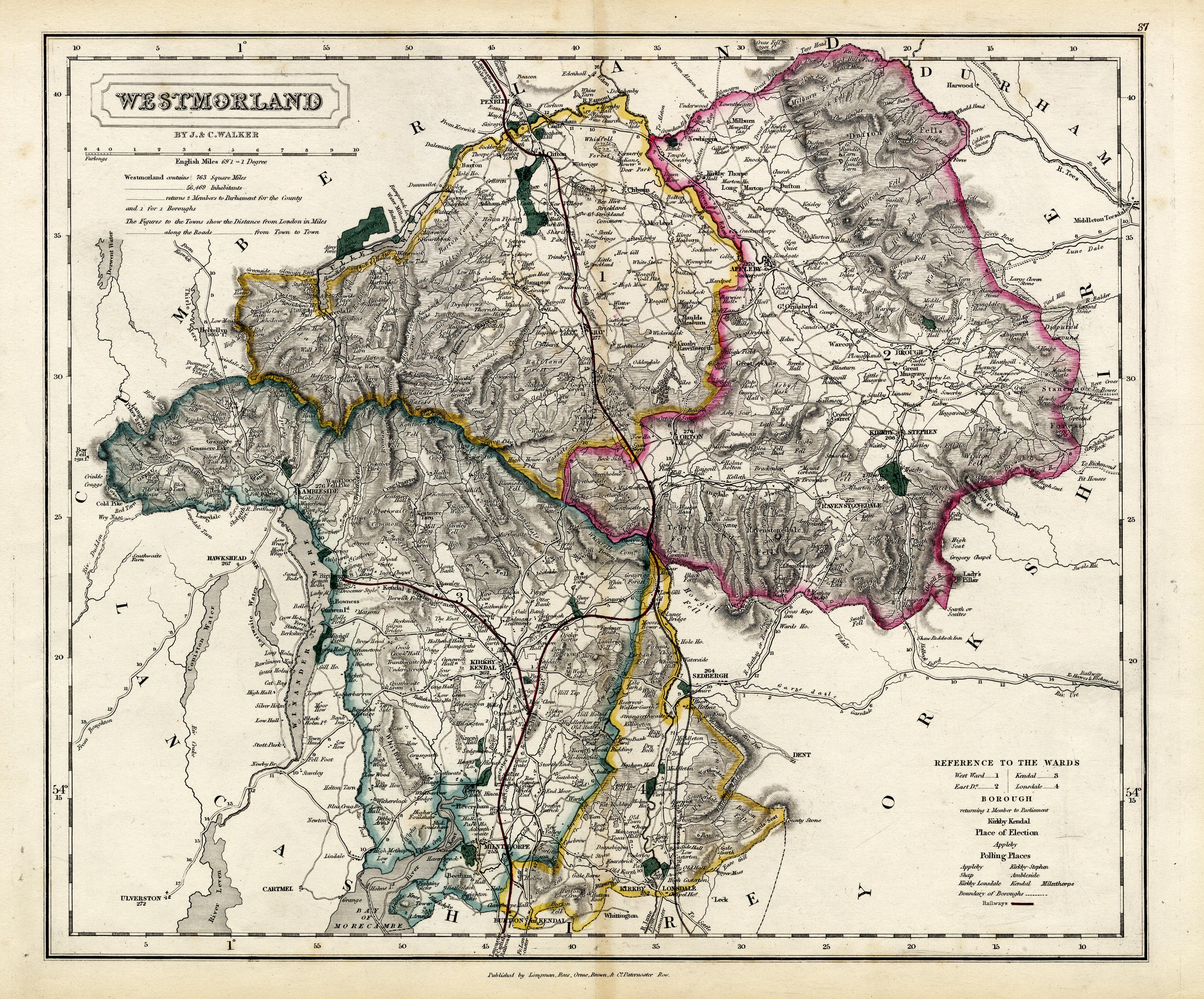
Map, hand coloured engraving, Westmorland, scale about 3 miles
to 1 inch, by J and C Walker, about 1837, published by Longman,
Rees, Orme, Brown, Etc, Paternoster Row, London, edn about 1860s.
 Lakes Guides menu.