item:- Armitt Library : A6083.1
image:- © see bottom of page
 WHE3.jpg
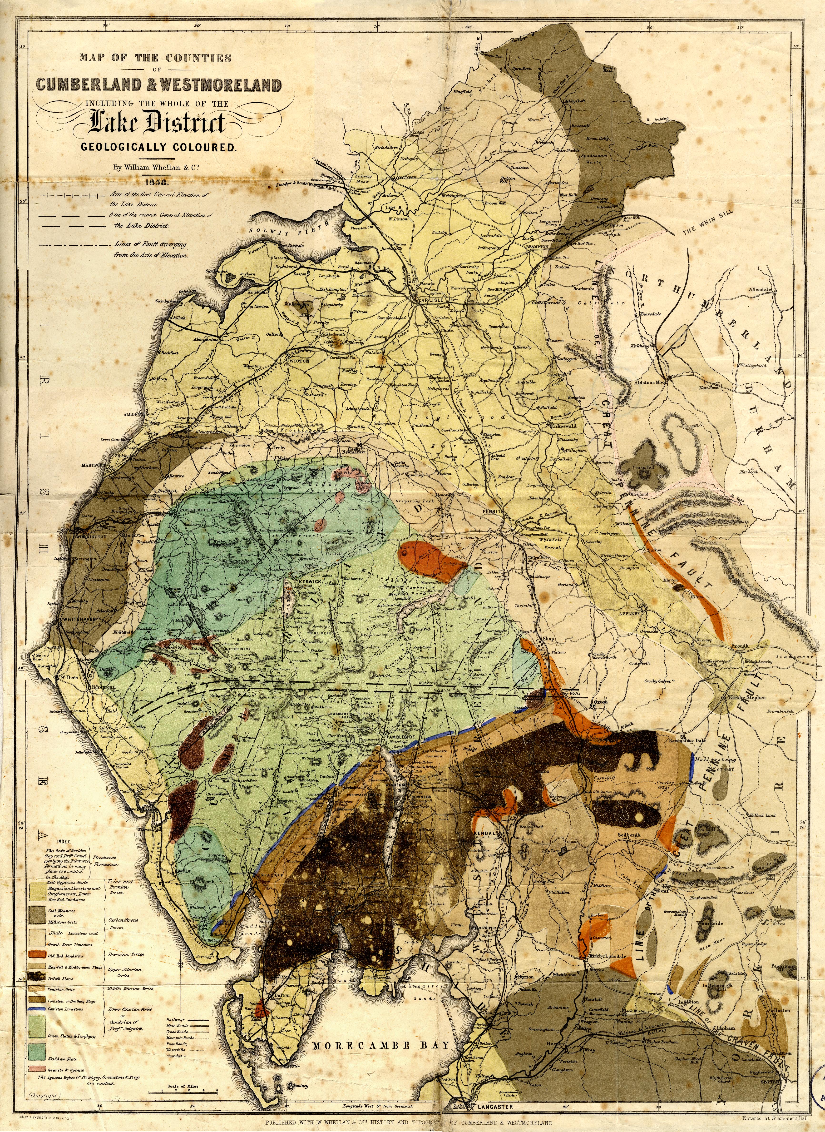
Geological map, hand coloured engraving, Map of the Counties of
Cumberland and Westmoreland including the whole of the Lake
District Geologically Coloured, scale about 3.5 miles to 1 inch,
probably by J G Cumming, engraved by W Banks, Edinburgh,
published by W Whellan and Co, Pontefract, Yorkshire, by
Whittaker and Co, London, and by Galt and Co, Manchester, 1860.
 Lakes Guides menu.