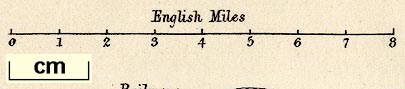
Maps, Westmoreland, scale about 4 miles to 1 inch, and Cumberland, scale about 6 miles to 1 inch, by William Hughes, published by Virtue, James S and Co, City Road and Ivy Lane, London, 1868. (Hughes 1868)
Lakes Guides menu.
 Lakes Guides menu.