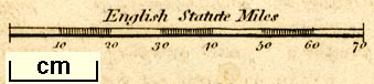
Railway and canal map, England and Wales with the Canals, Navigable Rivers, Railroads &c, scale about 43 miles to 1 inch, published 1840s?. (Unknown 1840s)
Lakes Guides menu.
 Lakes Guides menu.