item:-
JandMN : 164
image:-
©
see bottom of page
UN12.jpg
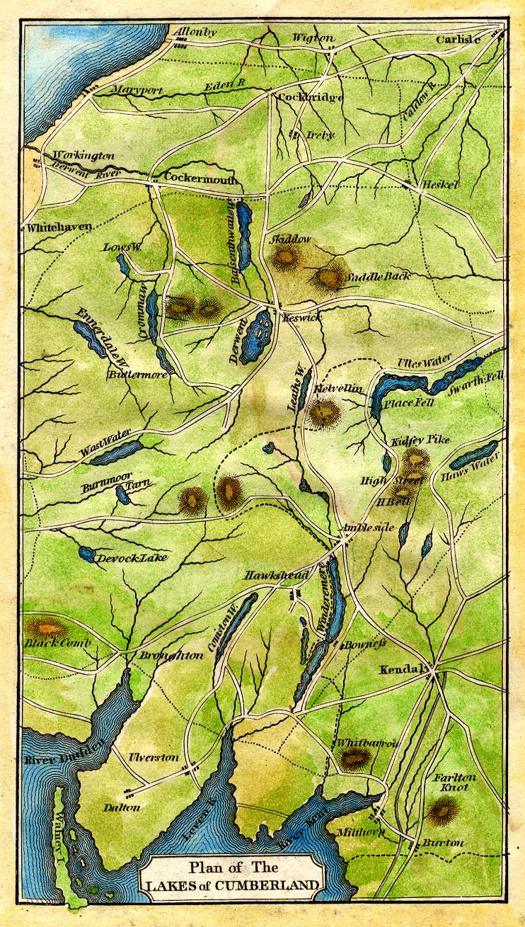
Map, hand coloured engraving, Plan of the Lakes of Cumberland, scale about 9 miles to 1 inch, perhaps about 1814.
Lakes Guides menu.
 UN12.jpg
 Lakes Guides menu.