 England, an Intended Guyde, for English
Travailers
England, an Intended Guyde, for English
Travailers

|

|
|
|
map type:- Norden 1625 |
|
|
|
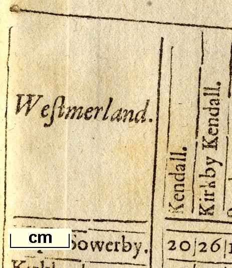
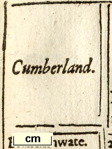
Tables of distances for Westmorland, Cumberland etc, an
Intended Guyde, for English Travailers, by John Norden,
1625.
(No maps.) Published in 'England, AN Intended Guyde, For English Travailers. Shewing in generall, how far one Citie, & many Shire-Townes in England, are distant from other Together, with the Shires in perticular: and the Cheife Townes in every of them. With a generall Table, of the most principal Townes in Wales. Invented & Collected by John Norden. / Voluntas pro facultate. / Printed at London by Edward All-de dwelling neare Christ-Church 1625.' The book size is wxh = 18.5x25cm. John Norden acknowledges his use of Saxton's and Speed's maps as well as his own in preparing the tables for the counties of England. |
||
| references:- |
Norden, John: 1625: England, an Intended Guide for English
Travellers: (London) Fordham, H G, Sir: 1924: Road Books and Itineraries of Great Britain 1570-1850: (Cambridge) |
|
| sources:- |
Skelton 1970 Box Collection |
|