 Whitehaven Town and Harbour, Proposed Extension

|

|
|
|
map type:- Brodie 1890 |
|
|
|
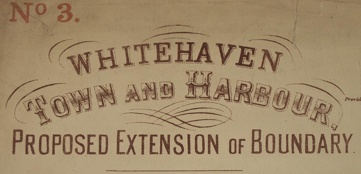
Town plan, Whitehaven Town and Harbour, Proposed
Extension, scale about 6 ins to 1 mile, by John S Brodie,
town surveyor, printed by Welsh, Moss and Co, Whitehaven,
Cumberland, 1890.
|
||
|
(example map Carlisle Library (73))
|
||
| map feature:- | settlements & streets & harbours | |
| inscription:- |
printed upper left
WHITEHAVEN / TOWN AND HARBOUR, / PROPOSED EXTENSION OF BOUNDARY. / ... / JOHN S. BRODIE / ASSOC.M.INST.C.E. / TOWN SURVEYOR / WHITEHAVEN. / 13, feby. 1890. |
|
| inscription:- |
printed bottom
Photo. Lithographed from Ordnance map by WELSH, MOSS & CO., Printers, Lithographers, and Manufacturing Stationers, Whitehaven. |
|
| wxh, sheet:- | 41.5x72.5cm | |
| wxh, map:- | 358x671mm | |
| inscription:- |
printed with scale line
SCALE = SIX INCHES TO ONE MILE. |
|
| scale line:- | 3000+1000 feet = 115.6 mm | |
| scale:- | 1 to 11000 ? (1 to 10547 from scale line) | |

|
||
| sources:- |
Carlisle Library Maps |
|
| items seen (illustrated items in bold):- | ||

|
Carlisle Library : Map 130 -- map -- Whitehaven Town and Harbour, Proposed Extension | |
|
|
Carlisle Library : Map 131 -- street map -- Whitehaven Town and Harbour, Proposed Extension of Boundary | |