 Geological Map of Yorkshire

|

|
|
|
map type:- Bird 1881 |
|
|
|
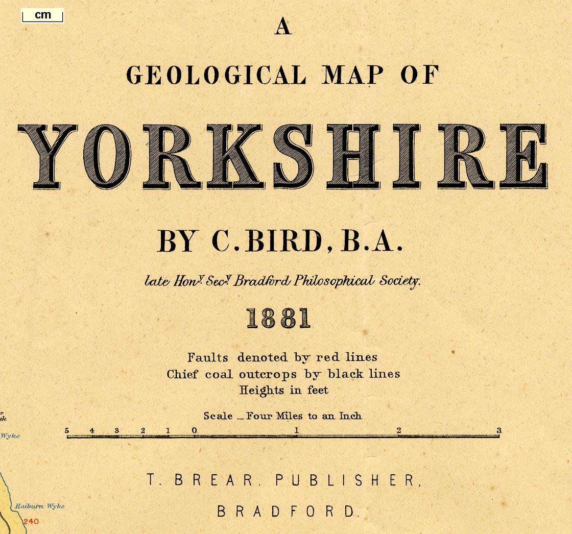
Geological Map of Yorkshire, scale about 4 miles to 1
inch, by C Bird, printed by W and A K Johnston, Edinburgh,
published by T Brear, Bradford, Yorkshire, 1881.
(The corner of West Yorkshire around Sedbergh is now in Cumbria.) |
||
|
( example map JandMN (135))
|
||
| map feature:- | up is N & scale line & lat and long scales & sea plain & coast line & rivers & county & settlements & roads & railways & geology & stratigraphical column & geological section | |
| inscription:- |
printed upper right
A / GEOLOGIAL MAP OF / YORKSHIRE / BY C/ BIRD. B.A. / late Hony. Secy. Bradford Philosophical Society. / 1881 |
|
| inscription:- |
printed bottom right
W. & A. K. Johnston, Edinburgh and London. |
|
| wxh, sheet:- | 82x72.5cm | |
| wxh, map:- | 738x653mm | |
| inscription:- |
printed above scale line
Scale - Four Miles to an Inch |
|
| scale line (beware, labelled in a very peculiar way):- | 17 miles = 108.1 mm | |
| scale:- | 1 to 250000 ? (1 to 253088 from scale line) | |
|
||
| sources:- |
JandMN Collection |
|
| items seen (illustrated items in bold):- | ||

|
JandMN (135) -- geological map -- Geological Map of Yorkshire | |