 County Palatine of Lancaster

|

|
|
|
map type:- Yates 1786 |
|
|
|
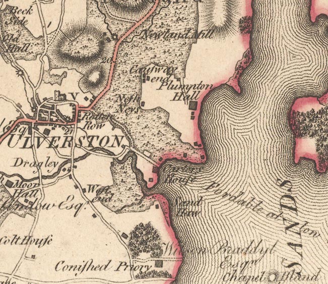
Map, engraving, The County Palatine of Lancaster, scale
about 1 inch to 1 mile, by William Yates, published, London,
1786.
The map was drawn in 8 sheets; it included a triangulation diagram. Two northerly sheets, Lancashire north of the sands, are relevant to Cumbria. Published in a 2nd edn by William Faden, Charing Cross, London, 1800. This edition has added canals, and some landowners names are revised. William Faden issued an edition reduced to 2 miles to 1 inch in 1816, published again by James Wyld, 1840. |
||
| sources:- |
National Library of Scotland |
|
| items seen (illustrated items in bold):- | ||

|
National Library of Scotland : EME.s.55 -- map -- County Palatine of Lancaster | |