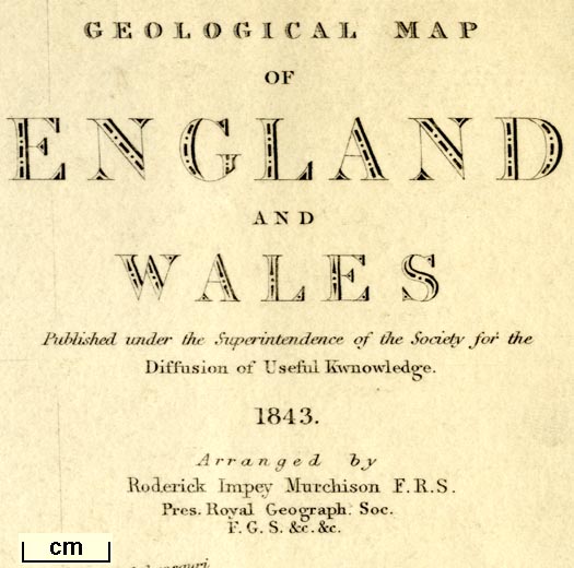
 Geological Map of England and Wales

|

|
|
|
map type:- Woodward 1843 |
|
|
|
Geological Map of England and Wales, scale about 28 miles
to 1 inch, by S P Woodward, engraved by J and C Walker,
coloured by T Maltby, published for the Society for the
Diffusion of Useful Knowledge, by Chapman and Hall, 186
Strand, London, 1843
'Arranged' by Roderick Impey Murchison. |
||
|
(example Armitt Library : 1959.190)
|
||
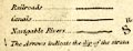
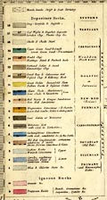
| map feature:- | up is N & scale line & lat and long scales & lat and long grid & table of symbols & sea plain & coast line & rivers & lakes & county & settlements & railways & geology & table of strata & descriptive text (notes around the coast describing strata) | |
| inscription:- |
printed upper right
GEOLOGICAL MAP / OF / ENGLAND / AND / WALES / Published under the supervision of the Society for the / Diffusion of Useful Knowledge. / 1843 / Arranged by / Roderick Impey Murchison F.R.S. / Pres. Royal Geograph. Soc. / F.G.S. &c. &c. |
|
| inscription:- |
printed bottom, left, right, centre
S. P. Woodward del. Cold. by T. Maltby / J. & C. Walker sculpt. / Published by Chapman & Hall 186 Strand Decr. 15th. 1843. |
|
| inscription:- |
printed with scale line
Scale of English Miles 69 14 = one degree |
|
| scale line:- | 100+10 miles = 99.9 mm | |
| wxh, sheet:- | 34.5x41cm | |
| wxh, map:- | 309x380mm | |
| scale:- | 1 to 1800000 ? (1 to 1772050 from scale line) | |

|
||
|
||
|
||
| sources:- |
Armitt Library |
|
| items seen (illustrated items in bold):- | ||

|
Armitt Library : 1959.190 -- geological map -- Geological Map of England and Wales | |