 Lighthouses in the British Isles

|

|
|
|
map type:- Walker 1842 |
|
|
|
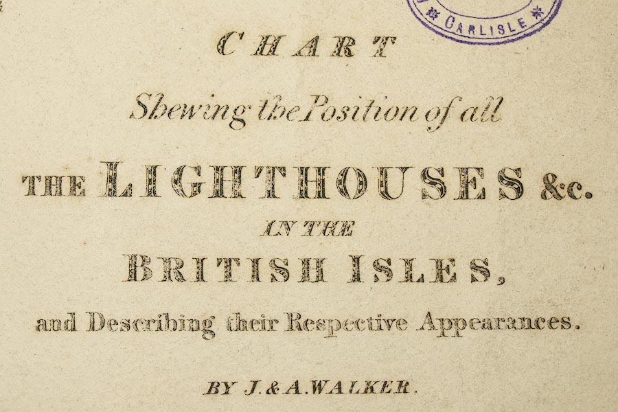
Chart, Position of all the Lighthouses in the British
Isles, scale about 38 nautical miles to 1 inch, published by
J and A Walker, 72 South Castle Street, Liverpool,
Lancashire, 1842.
|
||
|
(example Carlisle Library (41))
|
||
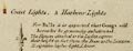
| map feature:- | table of symbols & compass rose & up is N & rhumb lines & sea plain & coast shaded & lighthouses (etc) & harbours | |
| inscription:- |
printed upper right
CHART / Shewing the Position of all / THE LIGHTHOUSES &C. / IN THE / BRITISH ISLES. / and Describing their Respective Appearances. / By J. & A. WALKER |
|
| inscription:- |
printed bottom
Published March 11th. 1842 by J. & A. Walker, 72, South Castle Street, Liverpool. |
|
| wxh, map:- | 334x457mm | |
| inscription:- |
printed with scale line
Nautic Miles |
|
| scale line:- | 120 nautical miles = 81.1 mm | |
| scale:- | 1 to 2700000 ? (1 to 2742972 from scale line, assuming a statute mile) | |
|
||
| sources:- |
Carlisle Library Maps |
|
| items seen (illustrated items in bold):- | ||

|
Carlisle Library : Map 110 -- chart -- Lighthouses in the British Isles | |