|

|
|
|
|
map type:-
Unknown
1900s
|

|
|
|
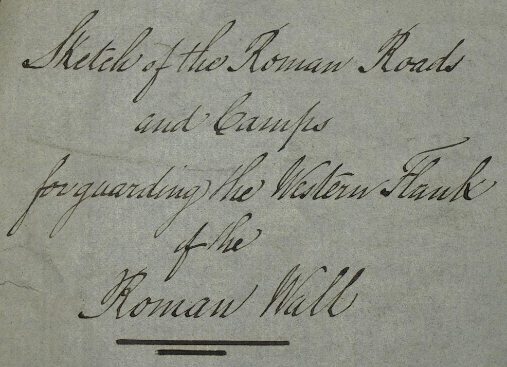
Road map, Sketch of the Roman Roads and Camps for
Guarding the Western Flank of the Roman Wall, scale about
miles to 1 inch, early 20th century?
|
|
|
(example Carlisle Library : ZB912.8)
|
|
|
map feature:-
|
north point & up is N & scale line & sea plain
& coast tinted & rivers & lakes & relief
(suggested by ink wash) & roman sites & roman roads
|
|
|
inscription:-
|
ms upper left
Sketch of the Roman Roads / and Camps for guarding the
Western Flank / of the / Roman Wall
|
|
|
wxh, sheet:-
|
33.5x42cm
|
|
|
scale:-
|
1 to 220000 ? (1 to 218068 from scale line, assuming )
|
|
|
inscription:-
|
ms with scale line
Scale of Miles 69.14 to a Degree / Miles
|
|
|
scale line:-
|
10 miles = 73.8 mm
|
|
|
|

|
|
|
sources:-
|
Carlisle Library Maps
|
|
|
items seen (illustrated items in bold):- |
|
|

|
Carlisle Library : Map 321
-- road map -- Sketch of the Roman Roads and Camps for
Guarding the Western Flank of the Roman Wall
|


 Sketch of the Roman Roads and Camps for Guarding the Western
Flank of the Roman Wall