 Lancashire

|

|
|
|
map type:- Unknown 1800s-30s |
|
|
|
Map, Lancashire, scale roughly 9 miles to 1 inch, early
19th century?
|
||
|
(example Carlisle Library (157))
|
||
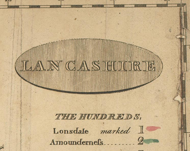
| map feature:- | title cartouche & oval cartouche (shaded) & compass rose & up is N & lat and long scales & sea shaded & coast shaded & rivers & lakes & woods & trees & parks & county & wards & table of wards & settlements & roads & canals | |
| inscription:- |
printed oval cartouche upper right
LANCASHIRE |
|
| wxh, sheet:- | 22x27.5cm | |
| wxh, map:- | 205x261mm | |
| scale:- | 1 to 550000 ? | |
| sources:- |
Carlisle Library Maps |
|
| items seen (illustrated items in bold):- | ||

|
Carlisle Library : Map 73 -- map -- Lancashire | |