 Plan of Carlisle

|

|
|
|
map type:- Scott 1858 |
|
|
|
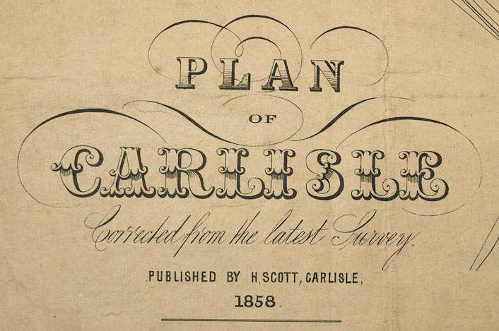
Town plan, Plan of Carlisle, scale about 12 inches to 1
mile, published by H Scott, Carlisle, Cumberland, 1858.
|
||
|
(example Carlisle Library : ZBC912.10)
|
||
| map feature:- | north point & up is N & scale line & rivers & settlements & roads & railways & streets | |
| inscription:- |
printed lower left
PLAN / OF / CARLISLE / Corrected from the latest Survey. / PUBLISHED BY H. SCOTT, CARLISLE / 1858. |
|
| wxh, sheet:- | 56.5x44.5cm (about) | |
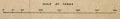
| inscription:- |
printed with scale line
SCALE OF YARDS |
|
| scale line:- | 600 yards = 104.5 mm | |
| scale:- | 1 to 5100 ? (1 to 5250 from scale line, assuming ) | |
|
||
| sources:- |
Carlisle Library Maps |
|
| items seen (illustrated items in bold):- | ||

|
Carlisle Library : Map 344 -- street map -- Plan of Carlisle | |