 Map of the County of Westmorland

|

|
|
|
map type:- Sayer 1847 map |
|
|
|
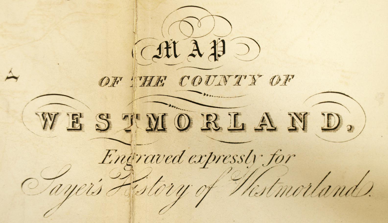
Map of the County of Westmorland, scale about 2.5 miles
to 1 inch, published by W Sayer, Kendal, Westmorland, 1847.
Included in Sayer's History of Westmorland. |
||
|
(example Armitt Library : A1390.1)
|
||
| map feature:- | folded (5x3) & table of symbols & compass rose & up is N & scale line & lat and long scales (rectangular projection) & coast shaded & rivers & lakes & relief & hill hachuring & forests & parks & county & wards & table of wards & settlements & roads & canals & railways | |
| inscription:- |
printed lower right
MAP / OF THE COUNTY / OF / WESTMORLAND. / Engraved expressly for / Sayer's History of Westmorland. |
|
| inscription:- |
printed bottom
Published by W. Sayer, Kendal |
|
| wxh, sheet:- | 54x44.5cm | |
| wxh, map:- | 503x418mm | |
| inscription:- |
printed with scale line
SCALE OF MILES |
|
| scale line:- | 8+1 miles = 99.2 mm | |
| scale:- | 1 to 150000 ? (1 to 146009 from scale line wrongly assuming a statute mile) | |
| longitude, Kendal:- | 2d 39.5m W | |
| sources:- |
Armitt Library |
|
| items seen (illustrated items in bold):- | ||

|
Armitt Library : A1390.1 -- map -- Map of the County of Westmorland | |