 Plan of the City of Carlisle

|

|
|
|
map type:- Mutlow 1815 |
|
|
|
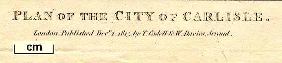
Town plan, Plan of the City of Carlisle, Cumberland,
scale about 12.5 ins to 1 mile, engraved by Mutlow,
published by T Cadell and W Davies, Strand, London, 1815.
|
||
|
(example map Carlisle Library (81))
|
||
| map feature:- | north point & up is NW & scale line & rivers & bridges & woods & trees & relief & hill hachuring & settlements & roads & streets | |
| inscription:- |
printed bottom right, centre
Mutlow Sc. / PLAN OF THE CITY OF CARLISLE. / London. Published Decr. 1. 1815 by T. Cadell & W. Davies, Strand. |
|
| wxh, sheet:- | 23x30cm | |
| wxh, map:- | 194x246mm | |
| inscription:- |
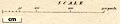
printed with scale line
SCALE |
|
| scale line:- | 300 yards = 53.9 mm | |
| scale:- | 1 to 5100 ? (1 to 5089 from scale line, assuming a statute mile) | |
|
||
| sources:- |
Wordsworth Trust Collection Carlisle Library Maps |
|
| items seen (illustrated items in bold):- | ||

|
Carlisle Library : Map 232 -- street map -- Plan of the City of Carlisle | |
|
|
Dove Cottage : 2009.81.3 -- street map -- Plan of the City of Carlisle | |