 Maitland 1962

|

|
|
|
map type:- Maitland 1962 |
|
|
|
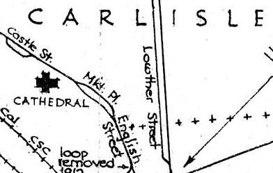
Tramway map, routes in Carlisle, Cumberland, scale about
4 inches to 1 mile, drawn by F W Maitland, 1962.
Also shows railways in detail. |
||
|
(example Carlisle Library : ZBC629.22)
|
||
| map feature:- | north point & up is N & scale line & rivers & settlements & railways & tramways | |
| inscription:- |
printed lower right
delt / F. W. Maitland / Chelmsford / June 1962 |
|
| wxh, sheet:- | 30.5x25.5cm | |
| inscription:- |
printed with scale line
mile |
|
| scale line:- | 0.5 mile = 53.6 mm | |
| scale:- | 1 to 15000 ? (1 to 15013 from scale line) | |
| sources:- |
Carlisle Library Maps |
|
| items seen (illustrated items in bold):- | ||

|
Carlisle Library : Map 334 -- tramway map | |