 English Lakes

|

|
|
|
map type:- LMS 1939 map |
|
|
|
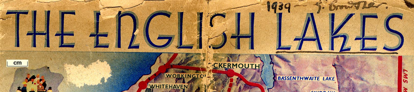
Map, The English Lakes, published by the London Midland
and Scottish Railway, LMS, 1939.
Used on the cover of a booklet, The English Lakes. |
||
|
(example map JandMN (161_1))
|
||
| map feature:- | vignettes (stage coach; shepherd and sheep; lake steamer; rock climbing) & up is N & coast tinted & rivers & lakes & relief & hill shading & railways | |
| inscription:- |
printed top
THE ENGLISH LAKES |
|
| inscription:- |
ms comments on the map
1939 - G. Crowther. / LMS / NB. This MAP is grossly inaccurate. / [added station names] |
|
| wxh, sheet:- | 21x23.5cm | |
| sources:- |
JandMN Collection |
|
| items seen (illustrated items in bold):- | ||

|
JandMN (161_1) -- railway map -- English Lakes | |