|

|
|
|
|
map type:-
Linton 1864
map
|

|
|
|
Map, The English Lake Country, scale about 5 miles to 1
inch, by J Bartholomew, Edinburgh, published by Smith, Elder
and Co, 65 Cornhill, London, 1864.
Folded and tipped in after p.292 in a guide book, The Lake
Country, by E Lynn Linton.
|
|
|
(example map JandMN (172_1))
|
|
|
map feature:-
|
up is N & scale line & table of symbols (minimal)
& sea plain & coast form lines & rivers &
lakes & relief & hill hachuring & forests &
parks & county & settlements & roads &
canals & railways
|
|
|
inscription:-
|
printed lower left
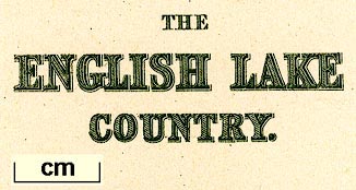
THE / ENGLISH LAKE / COUNTRY.
|
|
|
inscription:-
|
printed bottom right, centre
Drawn & Engraved by J. Bartholomew. Edinr. F.R.G.S. /
LONDON, SMITH ELDER & CO. 65 CORNHILL;
|
|
|
wxh, sheet:-
|
23.5x29.5cm
|
|
|
wxh, map:-
|
182x232mm
|
|
|
inscription:-
|
printed above scale line
Scale of English Miles.
|
|
|
scale line:-
|
10 miles = 48.0 mm
|
|
|
scale:-
|
1 to 340000 ? (1 to 335280 from scale line)
|
|
|
|

|
|
|
|

|
|
|
sources:-
|
JandMN Collection
|
|
|
items seen (illustrated items in bold):- |
|
|

|
JandMN (172_1)
-- map -- English Lake Country
|


 English Lake Country