 Map of the Country in the Vicinity of the Lakes

|

|
|
|
map type:- Lackington 1819 map |
|
|
|
Map of the Country in the Vicinity of the Lakes, scale
about 6 miles to 1 inch, engraved by Neele and Son, 352
Strand, published by Lackington and Co, Finsbury Square,
London, 1819.
Use as frontispiece to A Guide to the Lakes in Cumberland, Westmorland and Lancashire, by John Robinson, 1819. |
||
|
(example map JandMN (155_1))
|
||
| map feature:- | compass rose & up is N & scale line & sea plain & coast form lines & rivers & lakes & relief & hill hachuring & parks & county & settlements & roads & canals (?) | |
| inscription:- |
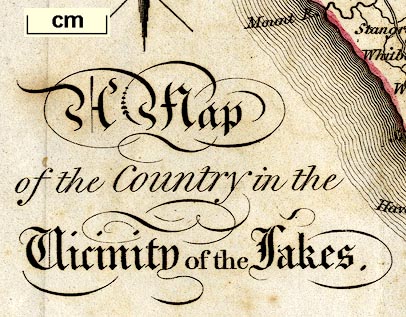
printed lower left
A Map / of the Country in the / Vicinity of the Lakes. |
|
| inscription:- |
printed bottom right and centre
Neele & Son sc 352 Strand / London, Published July 1, 1819, by Lackington and Co. Finsbury Square. |
|
| wxh, sheet:- | 21x19cm | |
| wxh, map:- | 185x168mm | |
| inscription:- |
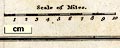
printed above scale line
Scale of Miles. |
|
| scale line:- | 10 miles = 41.2 mm | |
| scale:- | 1 to 390000 ? (1 to 390617 from scale line) | |
|
||
| sources:- |
JandMN Collection Bicknell 1990 |
|
| items seen (illustrated items in bold):- | ||

|
JandMN (155_1) -- map -- Map of the Country in the Vicinity of the Lakes | |